Mbigou geodata
Mbigou (Ngouni) is a populated place; located in Gabon in Africa/Libreville (GMT+1) time zone. With population of 4,134 people, there are 20 cities with bigger population in this country. Compared to other cities in Gabon, 84.6% of cities are located further ↑North; 65.4% of cities are located further ←West and 100% of cities have lower elevation than Mbigou. Note1


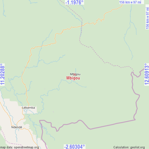
Mbigou GPS coordinates[2]
1° 54' 1.656" South, 11° 54' 21.6" East
| Map corner | latitude | longitude |
|---|---|---|
| Upper-left | -1.1976°, | 11.20288° |
| Center: | -1.90046°, | 11.906° |
| Lower-right: | -2.60304°, | 12.60913° |
| Map W x H: | 156.3×156.3 km | = 97.1×97.1mi |
| max Lat: | 2.07597° ⇑84.6% North |
| Mbigou: | -1.90046° |
| min Lat: | ⇓15.4% South -3.43198° |
| min Long | Mbigou | max Long |
| 8.78151° | 11.906° | 14.25905° |
| W 65.4%⇐ | ⇒34.6% E |
Elevation
Elevation of Mbigou is 667 m = 2188 ft, and this is 410 m = 1345 ft above average elevation for this country.
| Max E: |
667 m = 2188 ft | 0% |
| Mbigou | 667 m 2188 ft | |
| Avg. | 257 m = 843 ft | |
Min E: |
4 m = 13 ft | 100% |
See also: Gabon elevation on elevation.city.
Geographical zone
Mbigou is located in South Torrid zone (between Equator and Tropic of Capricorn). Distance of Equator is 211.3 km =131.3 mi to North.| Distance of | km | miles | from Mbigou |
|---|---|---|---|
| Equator | 211.3 | 131.3 | to North |
| Tropic Capricorn | 2394.6 | 1487.9 | to South |
| Antarctic Circle | 7189.9 | 4467.6 | to South |
| South Pole | 9795.8 | 6086.8 | to South |


Nearby cities:
15 places around Mbigou: (largest is in red/bold)
• Booué
201.1 km =125 mi,  1°
1°
• Fougamou
165.5 km =102.8 mi,  297°
297°
• Franceville
188.8 km =117.3 mi,  80°
80°
• Gamba
227.6 km =141.4 mi,  248°
248°
• Koulamoutou
105.2 km =65.4 mi,  36°
36°
• Lambaréné
228.2 km =141.8 mi,  305°
305°
• Lastoursville
149.8 km =93.1 mi, 36°
• Mayumba
219.8 km =136.6 mi,  219°
219°
• Mimongo
45.6 km =28.3 mi, 313°
• Moanda
148.4 km =92.2 mi, 75°
• Mouila
94.5 km =58.7 mi,  272°
272°
• Mounana
149.6 km =93 mi,  68°
68°
• Ndendé
82.5 km =51.3 mi,  227°
227°
• Ndjolé
229.7 km =142.7 mi,  326°
326°
• Tchibanga
154 km =95.7 mi, 221°
Sources, notices
• [Note1] Compared only with cities in Gabon existing in our database
• [Src1] Map data: © OpenStreetMap contributors (CC-BY-SA)
• [Src2] Other city data from geonames.org with taken over terms of usage.
• [Src3] Geographical zone / Annual Mean Temperature by Robert A. Rohde @ Wikipedia
