Moanda geodata
Moanda (Haut-Ogooué) is a populated place; located in Gabon in Africa/Libreville (GMT+1) time zone. With population of 30,151 people, there are 4 cities with bigger population in this country. Compared to other cities in Gabon, 61.5% of cities are located further ↑North; 88.5% of cities are located further ←West and 69.2% of cities have lower elevation than Moanda. Note1


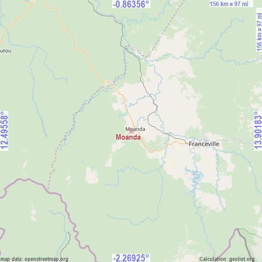
Moanda GPS coordinates[2]
1° 33' 59.472" South, 13° 11' 55.32" East
| Map corner | latitude | longitude |
|---|---|---|
| Upper-left | -0.86356°, | 12.49558° |
| Center: | -1.56652°, | 13.1987° |
| Lower-right: | -2.26925°, | 13.90183° |
| Map W x H: | 156.3×156.3 km | = 97.1×97.1mi |
| max Lat: | 2.07597° ⇑61.5% North |
| Moanda: | -1.56652° |
| min Lat: | ⇓38.5% South -3.43198° |
| min Long | Moanda | max Long |
| 8.78151° | 13.1987° | 14.25905° |
| W 88.5%⇐ | ⇒11.5% E |
Elevation
Elevation of Moanda is 416 m = 1365 ft, and this is 159 m = 522 ft above average elevation for this country.
| Max E: |
667 m = 2188 ft | 30.8% |
| Moanda | 416 m 1365 ft | |
| Avg. | 257 m = 843 ft | |
Min E: |
4 m = 13 ft | 69.2% |
See also: Gabon elevation on elevation.city.
Geographical zone
Moanda is located in South Torrid zone (between Equator and Tropic of Capricorn). Distance of Equator is 174.2 km =108.2 mi to North.| Distance of | km | miles | from Moanda |
|---|---|---|---|
| Equator | 174.2 | 108.2 | to North |
| Tropic Capricorn | 2431.7 | 1511 | to South |
| Antarctic Circle | 7227 | 4490.6 | to South |
| South Pole | 9832.9 | 6109.9 | to South |


Nearby cities:
15 places around Moanda: (largest is in red/bold)
• Booué
215.7 km =134 mi,  319°
319°
• Fougamou
293.3 km =182.2 mi,  277°
277°
• Franceville
43.4 km =27 mi,  99°
99°
• Koulamoutou
94.6 km =58.8 mi,  300°
300°
• Lastoursville
99.6 km =61.9 mi,  326°
326°
• Lékoni
117.9 km =73.3 mi,  90°
90°
• Makokou
240.9 km =149.7 mi,  351°
351°
• Mbigou
148.4 km =92.2 mi,  255°
255°
• Mimongo
177 km =110 mi,  268°
268°
• Mouila
240.5 km =149.4 mi, 261°
• Mounana
18.1 km =11.2 mi, 345°
• Ndendé
224.6 km =139.6 mi,  245°
245°
• Ndjolé
311.5 km =193.6 mi, 299°
• Okondja
114.4 km =71.1 mi,  27°
27°
• Tchibanga
289.4 km =179.8 mi,  238°
238°
Sources, notices
• [Note1] Compared only with cities in Gabon existing in our database
• [Src1] Map data: © OpenStreetMap contributors (CC-BY-SA)
• [Src2] Other city data from geonames.org with taken over terms of usage.
• [Src3] Geographical zone / Annual Mean Temperature by Robert A. Rohde @ Wikipedia
