Gamba geodata
Gamba (Ogooué-Maritime) is a populated place; located in Gabon in Africa/Libreville (GMT+1) time zone. With population of 9,928 people, there are 11 cities with bigger population in this country. Compared to other cities in Gabon, 92.3% of cities are located further ↑North; 80.8% of cities are located further →East and 73.1% of cities have higher elevation than Gamba. Note1


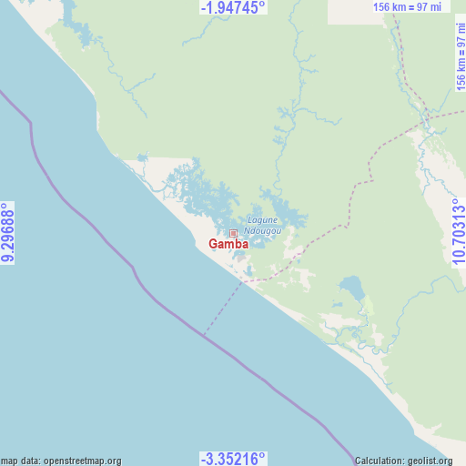
Gamba GPS coordinates[2]
2° 39' 0" South, 10° 0' 0" East
| Map corner | latitude | longitude |
|---|---|---|
| Upper-left | -1.94745°, | 9.29688° |
| Center: | -2.65°, | 10° |
| Lower-right: | -3.35216°, | 10.70313° |
| Map W x H: | 156.2×156.2 km | = 97.1×97.1mi |
| max Lat: | 2.07597° ⇑92.3% North |
| Gamba: | -2.65° |
| min Lat: | ⇓7.7% South -3.43198° |
| min Long | Gamba | max Long |
| 8.78151° | 10° | 14.25905° |
| W 19.2%⇐ | ⇒80.8% E |
Elevation
Elevation of Gamba is 43 m = 141 ft, and this is 214 m = 702 ft below average elevation for this country.
| Max E: |
667 m = 2188 ft | 73.1% |
| Avg. | 257 m = 843 ft | |
| Gamba | 43 m = 141 ft | |
Min E: |
4 m = 13 ft | 26.9% |
See also: Gabon elevation on elevation.city.
Geographical zone
Gamba is located in South Torrid zone (between Equator and Tropic of Capricorn). Distance of Equator is 294.7 km =183.1 mi to North.| Distance of | km | miles | from Gamba |
|---|---|---|---|
| Equator | 294.7 | 183.1 | to North |
| Tropic Capricorn | 2311.3 | 1436.2 | to South |
| Antarctic Circle | 7106.5 | 4415.8 | to South |
| South Pole | 9712.4 | 6035 | to South |


Nearby cities:
15 places around Gamba: (largest is in red/bold)
• Booué
356.8 km =221.7 mi,  37°
37°
• Fougamou
172.2 km =107 mi,  22°
22°
• Koulamoutou
321.4 km =199.7 mi,  58°
58°
• Lambaréné
218.5 km =135.8 mi,  7°
7°
• Libreville
343.7 km =213.6 mi,  349°
349°
• Mayumba
113.4 km =70.5 mi,  140°
140°
• Mbigou
227.6 km =141.4 mi,  68°
68°
• Mimongo
212.1 km =131.8 mi, 57°
• Mouila
146 km =90.7 mi,  53°
53°
• Ndendé
153.4 km =95.3 mi,  79°
79°
• Ndjolé
287.7 km =178.8 mi, 17°
• Ntoum
339.1 km =210.7 mi,  355°
355°
• Omboué
145 km =90.1 mi,  325°
325°
• Port-Gentil
253.8 km =157.7 mi, 327°
• Tchibanga
113.5 km =70.5 mi,  106°
106°
Sources, notices
• [Note1] Compared only with cities in Gabon existing in our database
• [Src1] Map data: © OpenStreetMap contributors (CC-BY-SA)
• [Src2] Other city data from geonames.org with taken over terms of usage.
• [Src3] Geographical zone / Annual Mean Temperature by Robert A. Rohde @ Wikipedia
