Wenchi geodata
Wenchi (Brong-Ahafo) is a populated place; located in Ghana in Africa/Accra (GMT+0) time zone. With population of 31,411 people, there are 42 cities with bigger population in this country. Compared to other cities in Ghana, 84.7% of cities are located further ↓South; 90.3% of cities are located further →East and 84.7% of cities have lower elevation than Wenchi. Note1


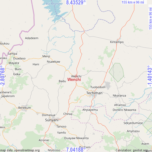
Wenchi GPS coordinates[2]
7° 44' 20.976" North, 2° 6' 16.416" West
| Map corner | latitude | longitude |
|---|---|---|
| Upper-left | 8.43529°, | -2.80768° |
| Center: | 7.73916°, | -2.10456° |
| Lower-right: | 7.04188°, | -1.40143° |
| Map W x H: | 154.9×154.9 km | = 96.3×96.3mi |
| max Lat: | 11.0616° ⇑15.3% North |
| Wenchi: | 7.73916° |
| min Lat: | ⇓84.7% South 4.86641° |
| min Long | Wenchi | max Long |
| -2.78516° | -2.10456° | 1.19012° |
| W 9.7%⇐ | ⇒90.3% E |
Elevation
Elevation of Wenchi is 308 m = 1010 ft, and this is 137.8 m = 452 ft above average elevation for this country.
| Max E: |
477 m = 1565 ft | 15.3% |
| Wenchi | 308 m 1010 ft | |
| Avg. | 170.2 m = 558 ft | |
Min E: |
0 m = 0 ft | 84.7% |
See also: Ghana elevation on elevation.city.
Geographical zone
Wenchi is located in North Torrid zone (between Equator and Tropic of Cancer). Distance of Equator is 860.5 km =534.7 mi to South.| Distance of | km | miles | from Wenchi |
|---|---|---|---|
| North Pole | 9146.5 | 5683.4 | to North |
| Arctic Circle | 6540.7 | 4064.2 | to North |
| Tropic Cancer | 1745.4 | 1084.5 | to North |
| Equator | 860.5 | 534.7 | to South |


Nearby cities:
15 places around Wenchi: (largest is in red/bold)
• Agogo
153.7 km =95.5 mi,  132°
132°
• Bechem
72.7 km =45.2 mi,  173°
173°
• Bekwai
154.4 km =95.9 mi,  157°
157°
• Berekum
61.7 km =38.3 mi,  238°
238°
• Bibiani
143.8 km =89.4 mi,  189°
189°
• Duayaw-Nkwanta
62.7 km =39 mi,  179°
179°
• Ejura
91.4 km =56.8 mi,  115°
115°
• Japekrom
77.2 km =48 mi,  256°
256°
• Kintampo
54.2 km =33.7 mi,  49°
49°
• Kumasi
128.3 km =79.7 mi, 155°
• Mampong
108.1 km =67.2 mi, 134°
• Mamponteng
127.5 km =79.2 mi,  151°
151°
• Sunyani
50.7 km =31.5 mi,  208°
208°
• Tafo
124.4 km =77.3 mi, 154°
• Techiman
25.2 km =15.7 mi, 133°
Sources, notices
• [Note1] Compared only with cities in Ghana existing in our database
• [Src1] Map data: © OpenStreetMap contributors (CC-BY-SA)
• [Src2] Other city data from geonames.org with taken over terms of usage.
• [Src3] Geographical zone / Annual Mean Temperature by Robert A. Rohde @ Wikipedia
