Japekrom geodata
Japekrom (Brong-Ahafo) is a seat of a second-order administrative division; located in Ghana in Africa/Accra (GMT+0) time zone. With population of 96,000 people, there are 12 cities with bigger population in this country. Compared to other cities in Ghana, 81.9% of cities are located further ↓South; 100% of cities are located further →East and 75% of cities have lower elevation than Japekrom. Note1


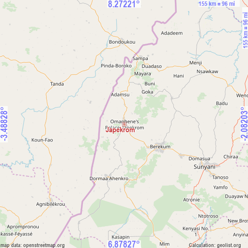
Japekrom GPS coordinates[2]
7° 34' 32.88" North, 2° 47' 6.576" West
| Map corner | latitude | longitude |
|---|---|---|
| Upper-left | 8.27221°, | -3.48828° |
| Center: | 7.5758°, | -2.78516° |
| Lower-right: | 6.87827°, | -2.08203° |
| Map W x H: | 155×155 km | = 96.3×96.3mi |
| max Lat: | 11.0616° ⇑18.1% North |
| Japekrom: | 7.5758° |
| min Lat: | ⇓81.9% South 4.86641° |
| min Long | Japekrom | max Long |
| -2.78516° | -2.78516° | 1.19012° |
| W 0%⇐ | ⇒100% E |
Elevation
Elevation of Japekrom is 267 m = 876 ft, and this is 96.8 m = 318 ft above average elevation for this country.
| Max E: |
477 m = 1565 ft | 25% |
| Japekrom | 267 m 876 ft | |
| Avg. | 170.2 m = 558 ft | |
Min E: |
0 m = 0 ft | 75% |
See also: Japekrom elevation on elevation.city.
Geographical zone
Japekrom is located in North Torrid zone (between Equator and Tropic of Cancer). Distance of Equator is 842.3 km =523.4 mi to South.| Distance of | km | miles | from Japekrom |
|---|---|---|---|
| North Pole | 9164.7 | 5694.7 | to North |
| Arctic Circle | 6558.8 | 4075.4 | to North |
| Tropic Cancer | 1763.6 | 1095.8 | to North |
| Equator | 842.3 | 523.4 | to South |


Nearby cities:
15 places around Japekrom: (largest is in red/bold)
• Bechem
99.7 km =62 mi,  122°
122°
• Bekwai
182.6 km =113.5 mi,  133°
133°
• Berekum
26 km =16.2 mi, 121°
• Bibiani
133.9 km =83.2 mi,  157°
157°
• Duayaw-Nkwanta
87.8 km =54.6 mi, 120°
• Ejura
158.9 km =98.7 mi,  97°
97°
• Kintampo
127.9 km =79.5 mi,  65°
65°
• Kumasi
161.7 km =100.5 mi, 127°
• Mampong
163.1 km =101.3 mi,  110°
110°
• Mamponteng
165.4 km =102.8 mi, 124°
• Obuase
196.3 km =122 mi,  141°
141°
• Sunyani
56.9 km =35.4 mi, 117°
• Tafo
159.7 km =99.2 mi, 125°
• Techiman
93.4 km =58 mi,  89°
89°
• Wenchi
77.2 km =48 mi,  76°
76°
Sources, notices
• [Note1] Compared only with cities in Ghana existing in our database
• [Src1] Map data: © OpenStreetMap contributors (CC-BY-SA)
• [Src2] Other city data from geonames.org with taken over terms of usage.
• [Src3] Geographical zone / Annual Mean Temperature by Robert A. Rohde @ Wikipedia
