Garha Brahman geodata
Garha Brahman (Madhya Pradesh) is a populated place; located in India in Asia/Kolkata (GMT+5.5) time zone. With population of 1,013 people, there are 3461 cities with bigger population in this country. Compared to other cities in India, 57.4% of cities are located further ↓South; 58.8% of cities are located further →East and 80.7% of cities have lower elevation than Garha Brahman. Note1


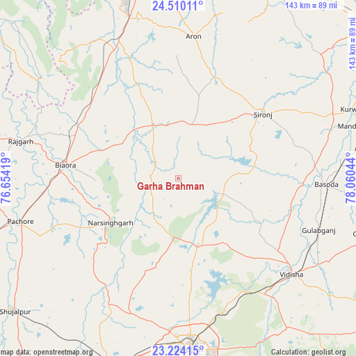
Garha Brahman GPS coordinates[2]
23° 52' 7.428" North, 77° 21' 26.316" East
| Map corner | latitude | longitude |
|---|---|---|
| Upper-left | 24.51011°, | 76.65419° |
| Center: | 23.86873°, | 77.35731° |
| Lower-right: | 23.22415°, | 78.06044° |
| Map W x H: | 143×143 km | = 88.9×88.9mi |
| max Lat: | 34.9274° ⇑42.6% North |
| Garha Brahman: | 23.86873° |
| min Lat: | ⇓57.4% South 8.09008° |
| min Long | Garha Brahman | max Long |
| 68.82655° | 77.35731° | 96.81° |
| W 41.2%⇐ | ⇒58.8% E |
Elevation
Elevation of Garha Brahman is 470 m = 1542 ft, and this is 174.4 m = 572 ft above average elevation for this country.
| Max E: |
3681 m = 12077 ft | 19.3% |
| Garha Brahman | 470 m 1542 ft | |
| Avg. | 295.6 m = 970 ft | |
Min E: |
1 m = 3 ft | 80.7% |
See also: India elevation on elevation.city.
Geographical zone
Garha Brahman is located in North temperate zone (between Tropic of Cancer and the Arctic Circle). Distance of this Northern Tropic circle is 48 km =29.8 mi to South.| Distance of | km | miles | from Garha Brahman |
|---|---|---|---|
| North Pole | 7353.1 | 4569 | to North |
| Arctic Circle | 4747.2 | 2949.8 | to North |
| Tropic Cancer | 48 | 29.8 | to South |
| Equator | 2654 | 1649.1 | to South |


Nearby cities:
15 places around Garha Brahman: (largest is in red/bold)
• Berasia
27.5 km =17.1 mi,  163°
163°
• Biaora
45.8 km =28.5 mi,  277°
277°
• Bāsoda
58.9 km =36.6 mi,  91°
91°
• Chandpura
6.4 km =4 mi,  254°
254°
• Khata Khedi
6.9 km =4.3 mi,  273°
273°
• Kumbhrāj
64.3 km =40 mi,  330°
330°
• Leteri
21.9 km =13.6 mi,  13°
13°
• Narsinghgarh
32.3 km =20.1 mi,  236°
236°
• Patalpani
3.1 km =1.9 mi,  186°
186°
• Rāghogarh
65.9 km =40.9 mi,  345°
345°
• Rājgarh
65.4 km =40.6 mi, 283°
• Sironj
42.7 km =26.5 mi,  52°
52°
• Sānchi
57.5 km =35.7 mi,  137°
137°
• Vidisha
59.9 km =37.2 mi,  129°
129°
• Āron
57.3 km =35.6 mi, 6°
Sources, notices
• [Note1] Compared only with cities in India existing in our database
• [Src1] Map data: © OpenStreetMap contributors (CC-BY-SA)
• [Src2] Other city data from geonames.org with taken over terms of usage.
• [Src3] Geographical zone / Annual Mean Temperature by Robert A. Rohde @ Wikipedia
