Rājgarh geodata
Rājgarh (Madhya Pradesh) is a populated place; located in India in Asia/Kolkata (GMT+5.5) time zone. With population of 26,164 people, there are 1632 cities with bigger population in this country. Compared to other cities in India, 58.1% of cities are located further ↓South; 65.9% of cities are located further →East and 72.8% of cities have lower elevation than Rājgarh. Note1


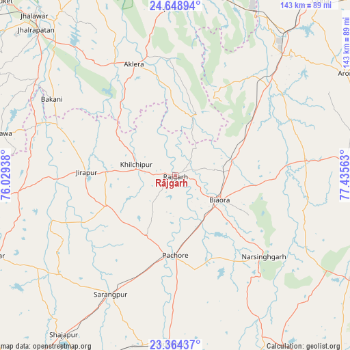
Rājgarh GPS coordinates[2]
24° 0' 29.736" North, 76° 43' 57" East
| Map corner | latitude | longitude |
|---|---|---|
| Upper-left | 24.64894°, | 76.02938° |
| Center: | 24.00826°, | 76.7325° |
| Lower-right: | 23.36437°, | 77.43563° |
| Map W x H: | 142.8×142.8 km | = 88.7×88.7mi |
| max Lat: | 34.9274° ⇑41.9% North |
| Rājgarh: | 24.00826° |
| min Lat: | ⇓58.1% South 8.09008° |
| min Long | Rājgarh | max Long |
| 68.82655° | 76.7325° | 96.81° |
| W 34.1%⇐ | ⇒65.9% E |
Elevation
Elevation of Rājgarh is 359 m = 1178 ft, and this is 63.4 m = 208 ft above average elevation for this country.
| Max E: |
3681 m = 12077 ft | 27.2% |
| Rājgarh | 359 m 1178 ft | |
| Avg. | 295.6 m = 970 ft | |
Min E: |
1 m = 3 ft | 72.8% |
See also: India elevation on elevation.city.
Geographical zone
Rājgarh is located in North temperate zone (between Tropic of Cancer and the Arctic Circle). Distance of this Northern Tropic circle is 63.5 km =39.5 mi to South.| Distance of | km | miles | from Rājgarh |
|---|---|---|---|
| North Pole | 7337.6 | 4559.4 | to North |
| Arctic Circle | 4731.7 | 2940.1 | to North |
| Tropic Cancer | 63.5 | 39.5 | to South |
| Equator | 2669.5 | 1658.7 | to South |


Nearby cities:
15 places around Rājgarh: (largest is in red/bold)
• Aklera
48 km =29.8 mi,  339°
339°
• Bakāni
59 km =36.7 mi,  301°
301°
• Biaora
20.6 km =12.8 mi,  118°
118°
• Chandpura
59.9 km =37.2 mi,  106°
106°
• Garha Brahman
65.4 km =40.6 mi,  103°
103°
• Khata Khedi
58.6 km =36.4 mi, 104°
• Khilchipur
16.1 km =10 mi,  282°
282°
• Khujner
27.3 km =17 mi,  205°
205°
• Kumbhrāj
51.7 km =32.1 mi,  38°
38°
• Manohar Thāna
26.7 km =16.6 mi,  15°
15°
• Māchalpur
44.3 km =27.5 mi,  287°
287°
• Narsinghgarh
49.6 km =30.8 mi,  132°
132°
• Patalpani
65.8 km =40.9 mi, 106°
• Sārangpur
55.8 km =34.7 mi, 208°
• Talen
48.8 km =30.3 mi,  180°
180°
Sources, notices
• [Note1] Compared only with cities in India existing in our database
• [Src1] Map data: © OpenStreetMap contributors (CC-BY-SA)
• [Src2] Other city data from geonames.org with taken over terms of usage.
• [Src3] Geographical zone / Annual Mean Temperature by Robert A. Rohde @ Wikipedia
