Sakīt geodata
Sakīt (Uttar Pradesh) is a populated place; located in India in Asia/Kolkata (GMT+5.5) time zone. With population of 7,811 people, there are 3137 cities with bigger population in this country. Compared to other cities in India, 81.5% of cities are located further ↓South; 56.6% of cities are located further ←West and 55.3% of cities have higher elevation than Sakīt. Note1


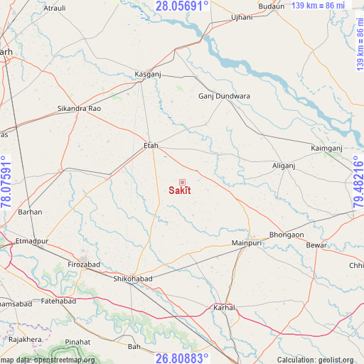
Sakīt GPS coordinates[2]
27° 26' 4.668" North, 78° 46' 44.508" East
| Map corner | latitude | longitude |
|---|---|---|
| Upper-left | 28.05691°, | 78.07591° |
| Center: | 27.43463°, | 78.77903° |
| Lower-right: | 26.80883°, | 79.48216° |
| Map W x H: | 138.8×138.8 km | = 86.2×86.2mi |
| max Lat: | 34.9274° ⇑18.5% North |
| Sakīt: | 27.43463° |
| min Lat: | ⇓81.5% South 8.09008° |
| min Long | Sakīt | max Long |
| 68.82655° | 78.77903° | 96.81° |
| W 56.6%⇐ | ⇒43.4% E |
Elevation
Elevation of Sakīt is 173 m = 568 ft, and this is 122.6 m = 402 ft below average elevation for this country.
| Max E: |
3681 m = 12077 ft | 55.3% |
| Avg. | 295.6 m = 970 ft | |
| Sakīt | 173 m = 568 ft | |
Min E: |
1 m = 3 ft | 44.7% |
See also: India elevation on elevation.city.
Geographical zone
Sakīt is located in North temperate zone (between Tropic of Cancer and the Arctic Circle). Distance of this Northern Tropic circle is 444.5 km =276.2 mi to South.| Distance of | km | miles | from Sakīt |
|---|---|---|---|
| North Pole | 6956.6 | 4322.6 | to North |
| Arctic Circle | 4350.7 | 2703.4 | to North |
| Tropic Cancer | 444.5 | 276.2 | to South |
| Equator | 3050.4 | 1895.4 | to South |


Nearby cities:
15 places around Sakīt: (largest is in red/bold)
• Alīganj
39.2 km =24.4 mi,  80°
80°
• Amānpur
31.1 km =19.3 mi,  352°
352°
• Bhongaon
44.4 km =27.6 mi,  116°
116°
• Ganj Dundwāra
36.8 km =22.9 mi,  25°
25°
• Ghiror
27.3 km =17 mi,  177°
177°
• Jasrāna
25.4 km =15.8 mi,  209°
209°
• Kāsganj
43.6 km =27.1 mi,  342°
342°
• Mainpuri
33.7 km =20.9 mi,  132°
132°
• Mārahra
39.5 km =24.5 mi,  328°
328°
• Patiāli
35.8 km =22.2 mi,  37°
37°
• Pharihā
32.8 km =20.4 mi,  247°
247°
• Sahāwar
40.5 km =25.2 mi,  7°
7°
• Shikohābād
41 km =25.5 mi, 207°
• Sidhpura
23.8 km =14.8 mi,  21°
21°
• Sirsāganj
43 km =26.7 mi,  192°
192°
Sources, notices
• [Note1] Compared only with cities in India existing in our database
• [Src1] Map data: © OpenStreetMap contributors (CC-BY-SA)
• [Src2] Other city data from geonames.org with taken over terms of usage.
• [Src3] Geographical zone / Annual Mean Temperature by Robert A. Rohde @ Wikipedia
