Revelganj geodata
Revelganj (Bihar) is a populated place; located in India in Asia/Kolkata (GMT+5.5) time zone. With population of 37,031 people, there are 1185 cities with bigger population in this country. Compared to other cities in India, 69% of cities are located further ↓South; 83.4% of cities are located further ←West and 76.7% of cities have higher elevation than Revelganj. Note1


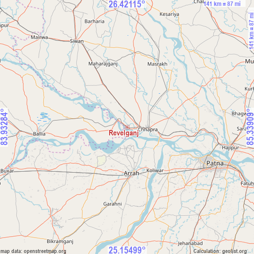
Revelganj GPS coordinates[2]
25° 47' 23.136" North, 84° 38' 9.456" East
| Map corner | latitude | longitude |
|---|---|---|
| Upper-left | 26.42115°, | 83.93284° |
| Center: | 25.78976°, | 84.63596° |
| Lower-right: | 25.15499°, | 85.33909° |
| Map W x H: | 140.8×140.8 km | = 87.5×87.5mi |
| max Lat: | 34.9274° ⇑31% North |
| Revelganj: | 25.78976° |
| min Lat: | ⇓69% South 8.09008° |
| min Long | Revelganj | max Long |
| 68.82655° | 84.63596° | 96.81° |
| W 83.4%⇐ | ⇒16.6% E |
Elevation
Elevation of Revelganj is 60 m = 197 ft, and this is 235.6 m = 773 ft below average elevation for this country.
| Max E: |
3681 m = 12077 ft | 76.7% |
| Avg. | 295.6 m = 970 ft | |
| Revelganj | 60 m = 197 ft | |
Min E: |
1 m = 3 ft | 23.3% |
See also: India elevation on elevation.city.
Geographical zone
Revelganj is located in North temperate zone (between Tropic of Cancer and the Arctic Circle). Distance of this Northern Tropic circle is 261.6 km =162.6 mi to South.| Distance of | km | miles | from Revelganj |
|---|---|---|---|
| North Pole | 7139.5 | 4436.3 | to North |
| Arctic Circle | 4533.6 | 2817 | to North |
| Tropic Cancer | 261.6 | 162.6 | to South |
| Equator | 2867.6 | 1781.8 | to South |


Nearby cities:
15 places around Revelganj: (largest is in red/bold)
• Arrah
26.1 km =16.2 mi,  173°
173°
• Bānsdīh
43.1 km =26.8 mi,  284°
284°
• Chāpra
11.2 km =7 mi,  95°
95°
• Dighwāra
37.8 km =23.5 mi, 97°
• Dinapore
44.6 km =27.7 mi,  112°
112°
• Jagdīspur
41.8 km =26 mi,  211°
211°
• Khagaul
47.3 km =29.4 mi,  119°
119°
• Koelwār
28.3 km =17.6 mi,  145°
145°
• Lālganj
54.6 km =33.9 mi,  80°
80°
• Mahārājgani
38 km =23.6 mi,  339°
339°
• Maner
28.6 km =17.8 mi, 123°
• Maniar
51.2 km =31.8 mi,  295°
295°
• Marhaura
30.9 km =19.2 mi,  48°
48°
• Reoti
26.7 km =16.6 mi, 284°
• Shāhpur
31.2 km =19.4 mi,  228°
228°
Sources, notices
• [Note1] Compared only with cities in India existing in our database
• [Src1] Map data: © OpenStreetMap contributors (CC-BY-SA)
• [Src2] Other city data from geonames.org with taken over terms of usage.
• [Src3] Geographical zone / Annual Mean Temperature by Robert A. Rohde @ Wikipedia
