Rajpur geodata
Rajpur (Madhya Pradesh) is a populated place; located in India in Asia/Kolkata (GMT+5.5) time zone. With population of 26,443 people, there are 1615 cities with bigger population in this country. Compared to other cities in India, 54.4% of cities are located further ↑North; 87.6% of cities are located further →East and 65.4% of cities have lower elevation than Rajpur. Note1


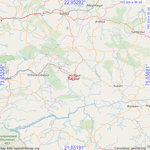
Rajpur GPS coordinates[2]
22° 18' 14.148" North, 74° 21' 20.448" East
| Map corner | latitude | longitude |
|---|---|---|
| Upper-left | 22.95292°, | 73.65256° |
| Center: | 22.30393°, | 74.35568° |
| Lower-right: | 21.65191°, | 75.05881° |
| Map W x H: | 144.7×144.7 km | = 89.9×89.9mi |
| max Lat: | 34.9274° ⇑54.4% North |
| Rajpur: | 22.30393° |
| min Lat: | ⇓45.6% South 8.09008° |
| min Long | Rajpur | max Long |
| 68.82655° | 74.35568° | 96.81° |
| W 12.4%⇐ | ⇒87.6% E |
Elevation
Elevation of Rajpur is 288 m = 945 ft, and this is 7.6 m = 25 ft below average elevation for this country.
| Max E: |
3681 m = 12077 ft | 34.6% |
| Avg. | 295.6 m = 970 ft | |
| Rajpur | 288 m = 945 ft | |
Min E: |
1 m = 3 ft | 65.4% |
See also: India elevation on elevation.city.
Geographical zone
Rajpur is located in North Torrid zone (between Equator and Tropic of Cancer). Distance of this Northern Tropic circle is 126 km =78.3 mi to North.| Distance of | km | miles | from Rajpur |
|---|---|---|---|
| North Pole | 7527.1 | 4677.1 | to North |
| Arctic Circle | 4921.2 | 3057.9 | to North |
| Tropic Cancer | 126 | 78.3 | to North |
| Equator | 2480 | 1541 | to South |


Nearby cities:
15 places around Rajpur: (largest is in red/bold)
• Barwāni
63.7 km =39.6 mi,  118°
118°
• Bhābhra
25.3 km =15.7 mi,  353°
353°
• Bāg
45.1 km =28 mi,  82°
82°
• Chhota Udepur
35 km =21.7 mi,  270°
270°
• Devgadh Bāriya
64 km =39.8 mi,  314°
314°
• Dohad
59.6 km =37 mi, 350°
• Jetpur
53.1 km =33 mi, 274°
• Jhābua
56.9 km =35.4 mi,  25°
25°
• Jobat
25.2 km =15.7 mi,  60°
60°
• Kawānt
39.2 km =24.4 mi,  233°
233°
• Khetia
74.2 km =46.1 mi,  161°
161°
• Kukshi
42.8 km =26.6 mi,  104°
104°
• Manāwar
75.9 km =47.2 mi, 95°
• Rājgarh
73.5 km =45.7 mi, 55°
• Rānāpur
41.8 km =26 mi,  24°
24°
Sources, notices
• [Note1] Compared only with cities in India existing in our database
• [Src1] Map data: © OpenStreetMap contributors (CC-BY-SA)
• [Src2] Other city data from geonames.org with taken over terms of usage.
• [Src3] Geographical zone / Annual Mean Temperature by Robert A. Rohde @ Wikipedia
