Pūrna geodata
Pūrna (Maharashtra) is a populated place; located in India in Asia/Kolkata (GMT+5.5) time zone. With population of 34,888 people, there are 1249 cities with bigger population in this country. Compared to other cities in India, 68% of cities are located further ↑North; 62.9% of cities are located further →East and 74.6% of cities have lower elevation than Pūrna. Note1


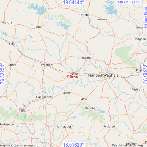
Pūrna GPS coordinates[2]
19° 10' 54.12" North, 77° 1' 32.376" East
| Map corner | latitude | longitude |
|---|---|---|
| Upper-left | 19.84444°, | 76.32254° |
| Center: | 19.1817°, | 77.02566° |
| Lower-right: | 18.51629°, | 77.72879° |
| Map W x H: | 147.7×147.7 km | = 91.8×91.8mi |
| max Lat: | 34.9274° ⇑68% North |
| Pūrna: | 19.1817° |
| min Lat: | ⇓32% South 8.09008° |
| min Long | Pūrna | max Long |
| 68.82655° | 77.02566° | 96.81° |
| W 37.1%⇐ | ⇒62.9% E |
Elevation
Elevation of Pūrna is 381 m = 1250 ft, and this is 85.4 m = 280 ft above average elevation for this country.
| Max E: |
3681 m = 12077 ft | 25.4% |
| Pūrna | 381 m 1250 ft | |
| Avg. | 295.6 m = 970 ft | |
Min E: |
1 m = 3 ft | 74.6% |
See also: India elevation on elevation.city.
Geographical zone
Pūrna is located in North Torrid zone (between Equator and Tropic of Cancer). Distance of this Northern Tropic circle is 473.1 km =294 mi to North.| Distance of | km | miles | from Pūrna |
|---|---|---|---|
| North Pole | 7874.3 | 4892.9 | to North |
| Arctic Circle | 5268.4 | 3273.6 | to North |
| Tropic Cancer | 473.1 | 294 | to North |
| Equator | 2132.8 | 1325.3 | to South |


Nearby cities:
15 places around Pūrna: (largest is in red/bold)
• Ahmadpur
53.7 km =33.4 mi,  189°
189°
• Basmat
21.4 km =13.3 mi,  40°
40°
• Gangākher
37.4 km =23.2 mi,  230°
230°
• Hadgāon
75 km =46.6 mi,  62°
62°
• Hingoli
60.5 km =37.6 mi,  11°
11°
• Jintūr
59.5 km =37 mi,  323°
323°
• Kalamnūri
62.4 km =38.8 mi,  28°
28°
• Mudkhed
50.2 km =31.2 mi,  93°
93°
• Mukher
63.9 km =39.7 mi,  145°
145°
• Mānwat
57 km =35.4 mi,  283°
283°
• Nanded
30.5 km =19 mi, 94°
• Parbhani
28.4 km =17.6 mi,  289°
289°
• Parli Vaijnāth
63.7 km =39.6 mi, 234°
• Pāthri
62.7 km =39 mi, 277°
• Selu
68.5 km =42.6 mi,  296°
296°
Sources, notices
• [Note1] Compared only with cities in India existing in our database
• [Src1] Map data: © OpenStreetMap contributors (CC-BY-SA)
• [Src2] Other city data from geonames.org with taken over terms of usage.
• [Src3] Geographical zone / Annual Mean Temperature by Robert A. Rohde @ Wikipedia
