Pāthri geodata
Pāthri (Maharashtra) is a populated place; located in India in Asia/Kolkata (GMT+5.5) time zone. With population of 37,648 people, there are 1172 cities with bigger population in this country. Compared to other cities in India, 67.6% of cities are located further ↑North; 69% of cities are located further →East and 78.1% of cities have lower elevation than Pāthri. Note1


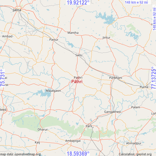
Pāthri GPS coordinates[2]
19° 15' 31.68" North, 76° 26' 2.832" East
| Map corner | latitude | longitude |
|---|---|---|
| Upper-left | 19.92122°, | 75.731° |
| Center: | 19.2588°, | 76.43412° |
| Lower-right: | 18.59369°, | 77.13725° |
| Map W x H: | 147.6×147.6 km | = 91.7×91.7mi |
| max Lat: | 34.9274° ⇑67.6% North |
| Pāthri: | 19.2588° |
| min Lat: | ⇓32.4% South 8.09008° |
| min Long | Pāthri | max Long |
| 68.82655° | 76.43412° | 96.81° |
| W 31%⇐ | ⇒69% E |
Elevation
Elevation of Pāthri is 432 m = 1417 ft, and this is 136.4 m = 448 ft above average elevation for this country.
| Max E: |
3681 m = 12077 ft | 21.9% |
| Pāthri | 432 m 1417 ft | |
| Avg. | 295.6 m = 970 ft | |
Min E: |
1 m = 3 ft | 78.1% |
See also: India elevation on elevation.city.
Geographical zone
Pāthri is located in North Torrid zone (between Equator and Tropic of Cancer). Distance of this Northern Tropic circle is 464.5 km =288.6 mi to North.| Distance of | km | miles | from Pāthri |
|---|---|---|---|
| North Pole | 7865.7 | 4887.5 | to North |
| Arctic Circle | 5259.8 | 3268.3 | to North |
| Tropic Cancer | 464.5 | 288.6 | to North |
| Equator | 2141.4 | 1330.6 | to South |


Nearby cities:
15 places around Pāthri: (largest is in red/bold)
• Ambājogāi
58.7 km =36.5 mi,  184°
184°
• Ashti
25.5 km =15.8 mi,  300°
300°
• Basmat
76.3 km =47.4 mi,  84°
84°
• Beed
77.3 km =48 mi,  247°
247°
• Dhārūr
59.5 km =37 mi,  214°
214°
• Gangākher
46.2 km =28.7 mi,  134°
134°
• Gevrai
71.8 km =44.6 mi,  270°
270°
• Jintūr
47.4 km =29.5 mi,  34°
34°
• Mājalgaon
26.1 km =16.2 mi, 245°
• Mānwat
8.1 km =5 mi,  54°
54°
• Parbhani
35.4 km =22 mi,  88°
88°
• Parli Vaijnāth
46.5 km =28.9 mi,  167°
167°
• Partūr
44.3 km =27.5 mi,  328°
328°
• Pūrna
62.7 km =39 mi,  97°
97°
• Selu
21.8 km =13.5 mi,  1°
1°
Sources, notices
• [Note1] Compared only with cities in India existing in our database
• [Src1] Map data: © OpenStreetMap contributors (CC-BY-SA)
• [Src2] Other city data from geonames.org with taken over terms of usage.
• [Src3] Geographical zone / Annual Mean Temperature by Robert A. Rohde @ Wikipedia
