Patna geodata
Patna (Bihar) is a seat of a first-order administrative division; located in India in Asia/Kolkata (GMT+5.5) time zone. With population of 1,599,920 people, there are 15 cities with bigger population in this country. Compared to other cities in India, 67.6% of cities are located further ↓South; 84.6% of cities are located further ←West and 78.5% of cities have higher elevation than Patna. Note1


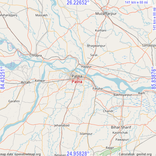
Patna GPS coordinates[2]
25° 35' 38.688" North, 85° 8' 8.268" East
| Map corner | latitude | longitude |
|---|---|---|
| Upper-left | 26.22652°, | 84.43251° |
| Center: | 25.59408°, | 85.13563° |
| Lower-right: | 24.95828°, | 85.83876° |
| Map W x H: | 141×141 km | = 87.6×87.6mi |
| max Lat: | 34.9274° ⇑32.4% North |
| Patna: | 25.59408° |
| min Lat: | ⇓67.6% South 8.09008° |
| min Long | Patna | max Long |
| 68.82655° | 85.13563° | 96.81° |
| W 84.6%⇐ | ⇒15.4% E |
Elevation
Elevation of Patna is 53 m = 174 ft, and this is 242.6 m = 796 ft below average elevation for this country.
| Max E: |
3681 m = 12077 ft | 78.5% |
| Avg. | 295.6 m = 970 ft | |
| Patna | 53 m = 174 ft | |
Min E: |
1 m = 3 ft | 21.5% |
See also: Patna elevation on elevation.city.
Geographical zone
Patna is located in North temperate zone (between Tropic of Cancer and the Arctic Circle). Distance of this Northern Tropic circle is 239.9 km =149.1 mi to South.| Distance of | km | miles | from Patna |
|---|---|---|---|
| North Pole | 7161.3 | 4449.8 | to North |
| Arctic Circle | 4555.4 | 2830.6 | to North |
| Tropic Cancer | 239.9 | 149.1 | to South |
| Equator | 2845.8 | 1768.3 | to South |


Nearby cities:
15 places around Patna: (largest is in red/bold)
• Arrah
47.6 km =29.6 mi,  264°
264°
• Bakhtiyārpur
42.4 km =26.3 mi,  110°
110°
• Chāpra
44.1 km =27.4 mi,  298°
298°
• Dighwāra
20.9 km =13 mi,  323°
323°
• Dinapore
10 km =6.2 mi, 298°
• Fatwa
19.4 km =12.1 mi,  118°
118°
• Hilsa
34.2 km =21.3 mi,  154°
154°
• Hājīpur
12.6 km =7.8 mi,  36°
36°
• Jahānābād
44.9 km =27.9 mi,  199°
199°
• Khagaul
9.2 km =5.7 mi, 259°
• Khusropur
28 km =17.4 mi, 116°
• Koelwār
33.9 km =21.1 mi,  267°
267°
• Lālganj
30.8 km =19.1 mi,  7°
7°
• Maner
27 km =16.8 mi,  282°
282°
• Masaurhi Buzurg
28.6 km =17.8 mi, 201°
Sources, notices
• [Note1] Compared only with cities in India existing in our database
• [Src1] Map data: © OpenStreetMap contributors (CC-BY-SA)
• [Src2] Other city data from geonames.org with taken over terms of usage.
• [Src3] Geographical zone / Annual Mean Temperature by Robert A. Rohde @ Wikipedia
