Partūr geodata
Partūr (Maharashtra) is a populated place; located in India in Asia/Kolkata (GMT+5.5) time zone. With population of 30,991 people, there are 1401 cities with bigger population in this country. Compared to other cities in India, 66.8% of cities are located further ↑North; 71.5% of cities are located further →East and 79.6% of cities have lower elevation than Partūr. Note1


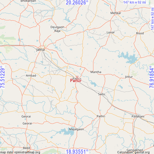
Partūr GPS coordinates[2]
19° 35' 57.3" North, 76° 12' 55.476" East
| Map corner | latitude | longitude |
|---|---|---|
| Upper-left | 20.26026°, | 75.51229° |
| Center: | 19.59925°, | 76.21541° |
| Lower-right: | 18.93551°, | 76.91854° |
| Map W x H: | 147.3×147.3 km | = 91.5×91.5mi |
| max Lat: | 34.9274° ⇑66.8% North |
| Partūr: | 19.59925° |
| min Lat: | ⇓33.2% South 8.09008° |
| min Long | Partūr | max Long |
| 68.82655° | 76.21541° | 96.81° |
| W 28.5%⇐ | ⇒71.5% E |
Elevation
Elevation of Partūr is 453 m = 1486 ft, and this is 157.4 m = 516 ft above average elevation for this country.
| Max E: |
3681 m = 12077 ft | 20.4% |
| Partūr | 453 m 1486 ft | |
| Avg. | 295.6 m = 970 ft | |
Min E: |
1 m = 3 ft | 79.6% |
See also: India elevation on elevation.city.
Geographical zone
Partūr is located in North Torrid zone (between Equator and Tropic of Cancer). Distance of this Northern Tropic circle is 426.7 km =265.1 mi to North.| Distance of | km | miles | from Partūr |
|---|---|---|---|
| North Pole | 7827.8 | 4864 | to North |
| Arctic Circle | 5221.9 | 3244.7 | to North |
| Tropic Cancer | 426.7 | 265.1 | to North |
| Equator | 2179.2 | 1354.1 | to South |


Nearby cities:
15 places around Partūr: (largest is in red/bold)
• Ambad
44.7 km =27.8 mi,  271°
271°
• Ashti
24.8 km =15.4 mi,  177°
177°
• Deūlgaon Rāja
50.1 km =31.1 mi,  338°
338°
• Gevrai
61.4 km =38.2 mi,  232°
232°
• Jintūr
49.5 km =30.8 mi,  88°
88°
• Jālna
43.7 km =27.2 mi,  307°
307°
• Lonār
53.5 km =33.2 mi,  36°
36°
• Mehekar
71.5 km =44.4 mi,  31°
31°
• Mājalgaon
48.9 km =30.4 mi, 180°
• Mānwat
44.4 km =27.6 mi,  138°
138°
• Parbhani
68.9 km =42.8 mi,  122°
122°
• Pāthri
44.3 km =27.5 mi,  148°
148°
• Pīpri
74.4 km =46.2 mi,  286°
286°
• Risod
73.1 km =45.4 mi,  54°
54°
• Selu
28.5 km =17.7 mi, 124°
Sources, notices
• [Note1] Compared only with cities in India existing in our database
• [Src1] Map data: © OpenStreetMap contributors (CC-BY-SA)
• [Src2] Other city data from geonames.org with taken over terms of usage.
• [Src3] Geographical zone / Annual Mean Temperature by Robert A. Rohde @ Wikipedia
