Nāhan geodata
Nāhan (Himachal Pradesh) is a populated place; located in India in Asia/Kolkata (GMT+5.5) time zone. With population of 27,544 people, there are 1563 cities with bigger population in this country. Compared to other cities in India, 94.5% of cities are located further ↓South; 59.9% of cities are located further →East and 95.4% of cities have lower elevation than Nāhan. Note1


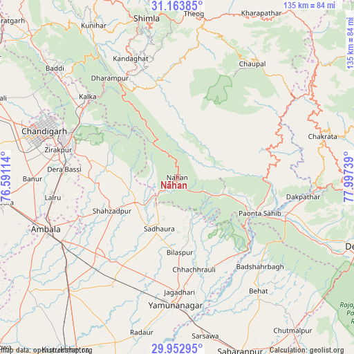
Nāhan GPS coordinates[2]
30° 33' 37.044" North, 77° 17' 39.336" East
| Map corner | latitude | longitude |
|---|---|---|
| Upper-left | 31.16385°, | 76.59114° |
| Center: | 30.56029°, | 77.29426° |
| Lower-right: | 29.95295°, | 77.99739° |
| Map W x H: | 134.6×134.6 km | = 83.6×83.6mi |
| max Lat: | 34.9274° ⇑5.5% North |
| Nāhan: | 30.56029° |
| min Lat: | ⇓94.5% South 8.09008° |
| min Long | Nāhan | max Long |
| 68.82655° | 77.29426° | 96.81° |
| W 40.1%⇐ | ⇒59.9% E |
Elevation
Elevation of Nāhan is 909 m = 2982 ft, and this is 613.4 m = 2012 ft above average elevation for this country.
| Max E: |
3681 m = 12077 ft | 4.6% |
| Nāhan | 909 m 2982 ft | |
| Avg. | 295.6 m = 970 ft | |
Min E: |
1 m = 3 ft | 95.4% |
See also: India elevation on elevation.city.
Geographical zone
Nāhan is located in North temperate zone (between Tropic of Cancer and the Arctic Circle). Distance of this Northern Tropic circle is 792.1 km =492.2 mi to South.| Distance of | km | miles | from Nāhan |
|---|---|---|---|
| North Pole | 6609.1 | 4106.7 | to North |
| Arctic Circle | 4003.2 | 2487.5 | to North |
| Tropic Cancer | 792.1 | 492.2 | to South |
| Equator | 3398 | 2111.4 | to South |


Nearby cities:
15 places around Nāhan: (largest is in red/bold)
• Basi
43.1 km =26.8 mi,  274°
274°
• Bilāspur
28.5 km =17.7 mi,  178°
178°
• Būriya
45 km =28 mi,  172°
172°
• Chhachhrauli
35.6 km =22.1 mi, 169°
• Dagshai
42.8 km =26.6 mi,  327°
327°
• Harbatpur
44.8 km =27.8 mi,  107°
107°
• Jagādhri
43.7 km =27.2 mi, 178°
• Mustafābād
42.2 km =26.2 mi,  199°
199°
• Narāyangarh
18.4 km =11.4 mi,  240°
240°
• Panchkula
45 km =28 mi,  289°
289°
• Parwanoo
44.3 km =27.5 mi,  314°
314°
• Pinjaur
44.7 km =27.8 mi, 306°
• Pāonta Sāhib
34.5 km =21.4 mi, 113°
• Rājgarh
32.4 km =20.1 mi,  1°
1°
• Solan
42.6 km =26.5 mi,  335°
335°
Sources, notices
• [Note1] Compared only with cities in India existing in our database
• [Src1] Map data: © OpenStreetMap contributors (CC-BY-SA)
• [Src2] Other city data from geonames.org with taken over terms of usage.
• [Src3] Geographical zone / Annual Mean Temperature by Robert A. Rohde @ Wikipedia
