Mahārāganj geodata
Mahārāganj (Uttar Pradesh) is a populated place; located in India in Asia/Kolkata (GMT+5.5) time zone. With population of 30,548 people, there are 1421 cities with bigger population in this country. Compared to other cities in India, 79.5% of cities are located further ↓South; 80.9% of cities are located further ←West and 69.3% of cities have higher elevation than Mahārāganj. Note1


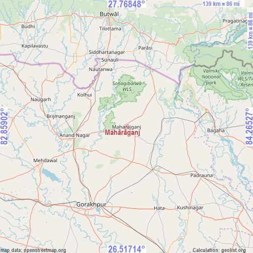
Mahārāganj GPS coordinates[2]
27° 8' 40.416" North, 83° 33' 43.704" East
| Map corner | latitude | longitude |
|---|---|---|
| Upper-left | 27.76848°, | 82.85902° |
| Center: | 27.14456°, | 83.56214° |
| Lower-right: | 26.51714°, | 84.26527° |
| Map W x H: | 139.1×139.1 km | = 86.4×86.4mi |
| max Lat: | 34.9274° ⇑20.5% North |
| Mahārāganj: | 27.14456° |
| min Lat: | ⇓79.5% South 8.09008° |
| min Long | Mahārāganj | max Long |
| 68.82655° | 83.56214° | 96.81° |
| W 80.9%⇐ | ⇒19.1% E |
Elevation
Elevation of Mahārāganj is 96 m = 315 ft, and this is 199.6 m = 655 ft below average elevation for this country.
| Max E: |
3681 m = 12077 ft | 69.3% |
| Avg. | 295.6 m = 970 ft | |
| Mahārāganj | 96 m = 315 ft | |
Min E: |
1 m = 3 ft | 30.7% |
See also: India elevation on elevation.city.
Geographical zone
Mahārāganj is located in North temperate zone (between Tropic of Cancer and the Arctic Circle). Distance of this Northern Tropic circle is 412.3 km =256.2 mi to South.| Distance of | km | miles | from Mahārāganj |
|---|---|---|---|
| North Pole | 6988.9 | 4342.7 | to North |
| Arctic Circle | 4383 | 2723.5 | to North |
| Tropic Cancer | 412.3 | 256.2 | to South |
| Equator | 3018.2 | 1875.4 | to South |


Nearby cities:
15 places around Mahārāganj: (largest is in red/bold)
• Anandnagar
29.2 km =18.1 mi,  260°
260°
• Bagaha
52.5 km =32.6 mi,  95°
95°
• Bānsi
62.2 km =38.6 mi,  273°
273°
• Captainganj
28.5 km =17.7 mi,  148°
148°
• Gorakhpur
46.2 km =28.7 mi,  204°
204°
• Hātā
48.4 km =30.1 mi,  157°
157°
• Khada
32.1 km =19.9 mi,  82°
82°
• Maghar
61 km =37.9 mi,  224°
224°
• Mehndāwal
48.5 km =30.1 mi,  247°
247°
• Nautanwa
34.5 km =21.4 mi,  335°
335°
• Nichlaul
24.7 km =15.3 mi,  40°
40°
• Padrauna
49.4 km =30.7 mi,  122°
122°
• Pipraich
35.4 km =22 mi,  185°
185°
• Rāmkola
38.4 km =23.9 mi,  134°
134°
• Siswā Bāzār
19.4 km =12.1 mi,  89°
89°
Sources, notices
• [Note1] Compared only with cities in India existing in our database
• [Src1] Map data: © OpenStreetMap contributors (CC-BY-SA)
• [Src2] Other city data from geonames.org with taken over terms of usage.
• [Src3] Geographical zone / Annual Mean Temperature by Robert A. Rohde @ Wikipedia
