Lālganj geodata
Lālganj (Uttar Pradesh) is a populated place; located in India in Asia/Kolkata (GMT+5.5) time zone. With population of 23,728 people, there are 1787 cities with bigger population in this country. Compared to other cities in India, 69.9% of cities are located further ↓South; 75.7% of cities are located further ←West and 66.7% of cities have higher elevation than Lālganj. Note1


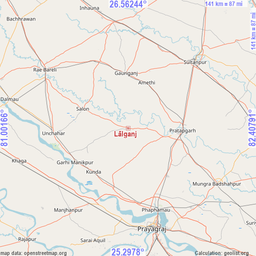
Lālganj GPS coordinates[2]
25° 55' 54.552" North, 81° 42' 17.208" East
| Map corner | latitude | longitude |
|---|---|---|
| Upper-left | 26.56244°, | 81.00166° |
| Center: | 25.93182°, | 81.70478° |
| Lower-right: | 25.2978°, | 82.40791° |
| Map W x H: | 140.6×140.6 km | = 87.4×87.4mi |
| max Lat: | 34.9274° ⇑30.1% North |
| Lālganj: | 25.93182° |
| min Lat: | ⇓69.9% South 8.09008° |
| min Long | Lālganj | max Long |
| 68.82655° | 81.70478° | 96.81° |
| W 75.7%⇐ | ⇒24.3% E |
Elevation
Elevation of Lālganj is 108 m = 354 ft, and this is 187.6 m = 615 ft below average elevation for this country.
| Max E: |
3681 m = 12077 ft | 66.7% |
| Avg. | 295.6 m = 970 ft | |
| Lālganj | 108 m = 354 ft | |
Min E: |
1 m = 3 ft | 33.3% |
See also: India elevation on elevation.city.
Geographical zone
Lālganj is located in North temperate zone (between Tropic of Cancer and the Arctic Circle). Distance of this Northern Tropic circle is 277.4 km =172.4 mi to South.| Distance of | km | miles | from Lālganj |
|---|---|---|---|
| North Pole | 7123.7 | 4426.5 | to North |
| Arctic Circle | 4517.8 | 2807.2 | to North |
| Tropic Cancer | 277.4 | 172.4 | to South |
| Equator | 2883.3 | 1791.6 | to South |


Nearby cities:
15 places around Lālganj: (largest is in red/bold)
• Amethī
27 km =16.8 mi,  21°
21°
• Antu
24.2 km =15 mi,  54°
54°
• Bela
29.2 km =18.1 mi,  92°
92°
• Bharwāri
46.5 km =28.9 mi,  207°
207°
• Jais
40.2 km =25 mi,  337°
337°
• Kunda
30.6 km =19 mi,  218°
218°
• Manjhanpur
55.5 km =34.5 mi, 216°
• Mau Aimma
34.2 km =21.3 mi,  140°
140°
• Musāfir-Khāna
50.5 km =31.4 mi,  10°
10°
• Parshādepur
26.5 km =16.5 mi,  306°
306°
• Patti
49.6 km =30.8 mi, 91°
• Pratāpgarh
24.1 km =15 mi,  99°
99°
• Salon
27.3 km =17 mi,  293°
293°
• Sirāthu
50.3 km =31.3 mi,  230°
230°
• Sultānpur
51.6 km =32.1 mi, 45°
Sources, notices
• [Note1] Compared only with cities in India existing in our database
• [Src1] Map data: © OpenStreetMap contributors (CC-BY-SA)
• [Src2] Other city data from geonames.org with taken over terms of usage.
• [Src3] Geographical zone / Annual Mean Temperature by Robert A. Rohde @ Wikipedia
