Chhātāpur geodata
Chhātāpur (Bihar) is a populated place; located in India in Asia/Kolkata (GMT+5.5) time zone. With population of 23,425 people, there are 1807 cities with bigger population in this country. Compared to other cities in India, 72.1% of cities are located further ↓South; 89.3% of cities are located further ←West and 75% of cities have higher elevation than Chhātāpur. Note1


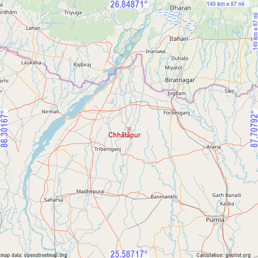
Chhātāpur GPS coordinates[2]
26° 13' 10.74" North, 87° 0' 17.244" East
| Map corner | latitude | longitude |
|---|---|---|
| Upper-left | 26.84871°, | 86.30167° |
| Center: | 26.21965°, | 87.00479° |
| Lower-right: | 25.58717°, | 87.70792° |
| Map W x H: | 140.3×140.3 km | = 87.2×87.2mi |
| max Lat: | 34.9274° ⇑27.9% North |
| Chhātāpur: | 26.21965° |
| min Lat: | ⇓72.1% South 8.09008° |
| min Long | Chhātāpur | max Long |
| 68.82655° | 87.00479° | 96.81° |
| W 89.3%⇐ | ⇒10.7% E |
Elevation
Elevation of Chhātāpur is 68 m = 223 ft, and this is 227.6 m = 747 ft below average elevation for this country.
| Max E: |
3681 m = 12077 ft | 75% |
| Avg. | 295.6 m = 970 ft | |
| Chhātāpur | 68 m = 223 ft | |
Min E: |
1 m = 3 ft | 25% |
See also: India elevation on elevation.city.
Geographical zone
Chhātāpur is located in North temperate zone (between Tropic of Cancer and the Arctic Circle). Distance of this Northern Tropic circle is 309.4 km =192.3 mi to South.| Distance of | km | miles | from Chhātāpur |
|---|---|---|---|
| North Pole | 7091.7 | 4406.6 | to North |
| Arctic Circle | 4485.8 | 2787.3 | to North |
| Tropic Cancer | 309.4 | 192.3 | to South |
| Equator | 2915.4 | 1811.5 | to South |


Nearby cities:
15 places around Chhātāpur: (largest is in red/bold)
• Arāria
51.3 km =31.9 mi,  98°
98°
• Bangaon
63 km =39.1 mi,  231°
231°
• Banmankhi
41.4 km =25.7 mi,  152°
152°
• Bhawanipur
26.1 km =16.2 mi,  4°
4°
• Bihārīganj
54 km =33.6 mi,  181°
181°
• Bīrpur
32.1 km =19.9 mi, 1°
• Forbesganj
27.6 km =17.1 mi,  70°
70°
• Jogbani
32.7 km =20.3 mi,  52°
52°
• Kasba
66.9 km =41.6 mi,  127°
127°
• Madhipura
39.4 km =24.5 mi,  212°
212°
• Murlīganj
35.9 km =22.3 mi, 181°
• Nirmāli
43.1 km =26.8 mi,  284°
284°
• Saharsa
56 km =34.8 mi, 226°
• Shahbazpur
29.9 km =18.6 mi, 71°
• Supaul
42.5 km =26.4 mi,  254°
254°
Sources, notices
• [Note1] Compared only with cities in India existing in our database
• [Src1] Map data: © OpenStreetMap contributors (CC-BY-SA)
• [Src2] Other city data from geonames.org with taken over terms of usage.
• [Src3] Geographical zone / Annual Mean Temperature by Robert A. Rohde @ Wikipedia
