Borkhera geodata
Borkhera (Rajasthan) is a populated place; located in India in Asia/Kolkata (GMT+5.5) time zone. With population of 3,440 people, there are 3395 cities with bigger population in this country. Compared to other cities in India, 67% of cities are located further ↓South; 77.2% of cities are located further →East and 64.9% of cities have lower elevation than Borkhera. Note1


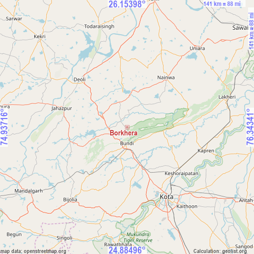
Borkhera GPS coordinates[2]
25° 31' 16.14" North, 75° 38' 25.008" East
| Map corner | latitude | longitude |
|---|---|---|
| Upper-left | 26.15398°, | 74.93716° |
| Center: | 25.52115°, | 75.64028° |
| Lower-right: | 24.88496°, | 76.34341° |
| Map W x H: | 141.1×141.1 km | = 87.7×87.7mi |
| max Lat: | 34.9274° ⇑33% North |
| Borkhera: | 25.52115° |
| min Lat: | ⇓67% South 8.09008° |
| min Long | Borkhera | max Long |
| 68.82655° | 75.64028° | 96.81° |
| W 22.8%⇐ | ⇒77.2% E |
Elevation
Elevation of Borkhera is 285 m = 935 ft, and this is 10.6 m = 35 ft below average elevation for this country.
| Max E: |
3681 m = 12077 ft | 35.1% |
| Avg. | 295.6 m = 970 ft | |
| Borkhera | 285 m = 935 ft | |
Min E: |
1 m = 3 ft | 64.9% |
See also: India elevation on elevation.city.
Geographical zone
Borkhera is located in North temperate zone (between Tropic of Cancer and the Arctic Circle). Distance of this Northern Tropic circle is 231.8 km =144 mi to South.| Distance of | km | miles | from Borkhera |
|---|---|---|---|
| North Pole | 7169.4 | 4454.9 | to North |
| Arctic Circle | 4563.5 | 2835.6 | to North |
| Tropic Cancer | 231.8 | 144 | to South |
| Equator | 2837.7 | 1763.3 | to South |


Nearby cities:
15 places around Borkhera: (largest is in red/bold)
• Būndi
9.2 km =5.7 mi,  181°
181°
• Deoli
37 km =23 mi,  315°
315°
• Jahāzpur
38.1 km =23.7 mi,  286°
286°
• Kekri
70.1 km =43.6 mi, 315°
• Keshorai Pātan
39.3 km =24.4 mi,  130°
130°
• Kota
42.6 km =26.5 mi,  152°
152°
• Kāpren
45.4 km =28.2 mi,  106°
106°
• Lākheri
56.4 km =35 mi,  72°
72°
• Māndalgarh
67.7 km =42.1 mi,  237°
237°
• Nainwa
34.9 km =21.7 mi,  37°
37°
• Rāwatbhāta
65.9 km =40.9 mi, 184°
• Shāhpura
72.6 km =45.1 mi,  278°
278°
• Singoli
70.5 km =43.8 mi,  209°
209°
• Todaraisingh
58.1 km =36.1 mi,  344°
344°
• Tonk
73.3 km =45.5 mi,  11°
11°
Sources, notices
• [Note1] Compared only with cities in India existing in our database
• [Src1] Map data: © OpenStreetMap contributors (CC-BY-SA)
• [Src2] Other city data from geonames.org with taken over terms of usage.
• [Src3] Geographical zone / Annual Mean Temperature by Robert A. Rohde @ Wikipedia
