Halshaw geodata
Halshaw (Sulaymaniyah) is a seat of a third-order administrative division; located in Iraq in Asia/Baghdad (GMT+3) time zone. In our database, there are 71 cities with bigger population. Compared to other cities in Iraq, 78.2% of cities are located further ↓South; 71.1% of cities are located further ←West and 94.4% of cities have lower elevation than Halshaw. Note1


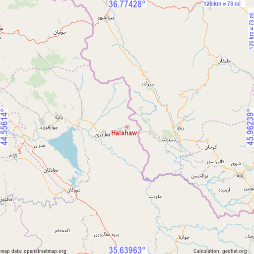
Halshaw GPS coordinates[2]
36° 12' 32.436" North, 45° 15' 33.336" East
| Map corner | latitude | longitude |
|---|---|---|
| Upper-left | 36.77428°, | 44.55614° |
| Center: | 36.20901°, | 45.25926° |
| Lower-right: | 35.63963°, | 45.96239° |
| Map W x H: | 126.2×126.2 km | = 78.4×78.4mi |
| max Lat: | 37.22781° ⇑21.8% North |
| Halshaw: | 36.20901° |
| min Lat: | ⇓78.2% South 29.97421° |
| min Long | Halshaw | max Long |
| 40.28586° | 45.25926° | 48.47309° |
| W 71.1%⇐ | ⇒28.9% E |
Elevation
Elevation of Halshaw is 1064 m = 3491 ft, and this is 771 m = 2530 ft above average elevation for this country.
| Max E: |
1316 m = 4318 ft | 5.6% |
| Halshaw | 1064 m 3491 ft | |
| Avg. | 293 m = 961 ft | |
Min E: |
1 m = 3 ft | 94.4% |
See also: Iraq elevation on elevation.city.
Geographical zone
Halshaw is located in North temperate zone (between Tropic of Cancer and the Arctic Circle). Distance of this Northern Tropic circle is 1420.1 km =882.4 mi to South.| Distance of | km | miles | from Halshaw |
|---|---|---|---|
| North Pole | 5981 | 3716.4 | to North |
| Arctic Circle | 3375.1 | 2097.2 | to North |
| Tropic Cancer | 1420.1 | 882.4 | to South |
| Equator | 4026.1 | 2501.7 | to South |


Nearby cities:
15 places around Halshaw: (largest is in red/bold)
• As Sulaymānīyah
73.3 km =45.5 mi,  167°
167°
• Choman
58 km =36 mi,  325°
325°
• Chwarta
61.1 km =38 mi,  152°
152°
• Dukan
41 km =25.5 mi,  220°
220°
• Hayraw
9.4 km =5.8 mi, 166°
• Hīrān
69.1 km =42.9 mi,  276°
276°
• Jamjamāl
84.3 km =52.4 mi,  207°
207°
• Koysinceq
58.3 km =36.2 mi,  256°
256°
• Mawet
36.9 km =22.9 mi,  157°
157°
• Nāḩiyat Hīrān
69.6 km =43.2 mi, 276°
• Qeładizê
12 km =7.5 mi, 255°
• Ruwāndiz
79.6 km =49.5 mi,  304°
304°
• Shaqlāwah
86.4 km =53.7 mi, 284°
• Soran
80.8 km =50.2 mi,  307°
307°
• Ṟaniye
34.2 km =21.3 mi, 278°
Sources, notices
• [Note1] Compared only with cities in Iraq existing in our database
• [Src1] Map data: © OpenStreetMap contributors (CC-BY-SA)
• [Src2] Other city data from geonames.org with taken over terms of usage.
• [Src3] Geographical zone / Annual Mean Temperature by Robert A. Rohde @ Wikipedia
