Choman geodata
Choman (Arbīl) is a seat of a second-order administrative division; located in Iraq in Asia/Baghdad (GMT+3) time zone. In our database, there are 71 cities with bigger population. Compared to other cities in Iraq, 88.7% of cities are located further ↓South; 63.4% of cities are located further ←West and 95.1% of cities have lower elevation than Choman. Note1


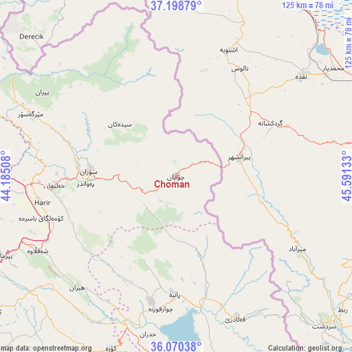
Choman GPS coordinates[2]
36° 38' 11.94" North, 44° 53' 17.52" East
| Map corner | latitude | longitude |
|---|---|---|
| Upper-left | 37.19879°, | 44.18508° |
| Center: | 36.63665°, | 44.8882° |
| Lower-right: | 36.07038°, | 45.59133° |
| Map W x H: | 125.5×125.5 km | = 78×78mi |
| max Lat: | 37.22781° ⇑11.3% North |
| Choman: | 36.63665° |
| min Lat: | ⇓88.7% South 29.97421° |
| min Long | Choman | max Long |
| 40.28586° | 44.8882° | 48.47309° |
| W 63.4%⇐ | ⇒36.6% E |
Elevation
Elevation of Choman is 1111 m = 3645 ft, and this is 818 m = 2684 ft above average elevation for this country.
| Max E: |
1316 m = 4318 ft | 4.9% |
| Choman | 1111 m 3645 ft | |
| Avg. | 293 m = 961 ft | |
Min E: |
1 m = 3 ft | 95.1% |
See also: Iraq elevation on elevation.city.
Geographical zone
Choman is located in North temperate zone (between Tropic of Cancer and the Arctic Circle). Distance of this Northern Tropic circle is 1467.7 km =912 mi to South.| Distance of | km | miles | from Choman |
|---|---|---|---|
| North Pole | 5933.4 | 3686.8 | to North |
| Arctic Circle | 3327.6 | 2067.7 | to North |
| Tropic Cancer | 1467.7 | 912 | to South |
| Equator | 4073.6 | 2531.2 | to South |


Nearby cities:
15 places around Choman: (largest is in red/bold)
• Beḧirke
84.2 km =52.3 mi,  244°
244°
• Dukan
78.9 km =49 mi,  175°
175°
• Halshaw
58 km =36 mi,  145°
145°
• Hayraw
66.8 km =41.5 mi, 148°
• Hīrān
53.3 km =33.1 mi,  221°
221°
• Kasnazān
83.2 km =51.7 mi,  234°
234°
• Koysinceq
65.8 km =40.9 mi,  200°
200°
• Mêrgasur
56.9 km =35.4 mi,  293°
293°
• Nāḩiyat Hīrān
53.5 km =33.2 mi, 221°
• Qeładizê
54.9 km =34.1 mi,  156°
156°
• Ruwāndiz
32.6 km =20.3 mi,  265°
265°
• Shaqlāwah
56.5 km =35.1 mi, 242°
• Soran
30.8 km =19.1 mi, 273°
• Ṟaniye
42.4 km =26.3 mi, 180°
• ‘Aqrah
89.7 km =55.7 mi,  278°
278°
Sources, notices
• [Note1] Compared only with cities in Iraq existing in our database
• [Src1] Map data: © OpenStreetMap contributors (CC-BY-SA)
• [Src2] Other city data from geonames.org with taken over terms of usage.
• [Src3] Geographical zone / Annual Mean Temperature by Robert A. Rohde @ Wikipedia
