Naqadeh geodata
Naqadeh (West Azerbaijan) is a seat of a second-order administrative division; located in Iran in Asia/Tehran (GMT+3.5) time zone. With population of 73,528 people, there are 90 cities with bigger population in this country. Compared to other cities in Iran, 82.5% of cities are located further ↓South; 97.7% of cities are located further →East and 59.6% of cities have lower elevation than Naqadeh. Note1


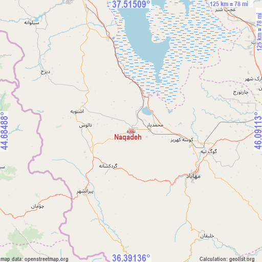
Naqadeh GPS coordinates[2]
36° 57' 19.08" North, 45° 23' 16.8" East
| Map corner | latitude | longitude |
|---|---|---|
| Upper-left | 37.51509°, | 44.68488° |
| Center: | 36.9553°, | 45.388° |
| Lower-right: | 36.39136°, | 46.09113° |
| Map W x H: | 124.9×124.9 km | = 77.6×77.6mi |
| max Lat: | 39.6482° ⇑17.5% North |
| Naqadeh: | 36.9553° |
| min Lat: | ⇓82.5% South 25.2919° |
| min Long | Naqadeh | max Long |
| 44.38416° | 45.388° | 61.9965° |
| W 2.3%⇐ | ⇒97.7% E |
Elevation
Elevation of Naqadeh is 1325 m = 4347 ft, and this is 276 m = 906 ft above average elevation for this country.
| Max E: |
2564 m = 8412 ft | 40.4% |
| Naqadeh | 1325 m 4347 ft | |
| Avg. | 1049 m = 3442 ft | |
Min E: |
-24 m = -79 ft | 59.6% |
See also: Naqadeh elevation on elevation.city.
Geographical zone
Naqadeh is located in North temperate zone (between Tropic of Cancer and the Arctic Circle). Distance of this Northern Tropic circle is 1503.1 km =934 mi to South.| Distance of | km | miles | from Naqadeh |
|---|---|---|---|
| North Pole | 5898 | 3664.8 | to North |
| Arctic Circle | 3292.1 | 2045.6 | to North |
| Tropic Cancer | 1503.1 | 934 | to South |
| Equator | 4109 | 2553.2 | to South |


Nearby cities:
15 places around Naqadeh: (largest is in red/bold)
• Bonāb
73.1 km =45.4 mi,  54°
54°
• Bāneh
115.4 km =71.7 mi,  157°
157°
• Būkān
87.6 km =54.4 mi,  123°
123°
• Mahābād
36.6 km =22.7 mi,  125°
125°
• Malekān
66.8 km =41.5 mi,  71°
71°
• Marāgheh
89.7 km =55.7 mi,  57°
57°
• Mīāndoāb
64.1 km =39.8 mi,  88°
88°
• Orūmīyeh
71.9 km =44.7 mi,  337°
337°
• Oshnavīyeh
27.4 km =17 mi,  290°
290°
• Piranshahr
35.8 km =22.2 mi,  217°
217°
• Saqqez
111.3 km =69.2 mi, 134°
• Sardasht
89.3 km =55.5 mi,  174°
174°
• Shāhīn Dezh
109.3 km =67.9 mi,  106°
106°
• Āz̄arshahr
103.5 km =64.3 mi,  30°
30°
• ‘Ajab Shīr
73.4 km =45.6 mi,  37°
37°
Sources, notices
• [Note1] Compared only with cities in Iran existing in our database
• [Src1] Map data: © OpenStreetMap contributors (CC-BY-SA)
• [Src2] Other city data from geonames.org with taken over terms of usage.
• [Src3] Geographical zone / Annual Mean Temperature by Robert A. Rohde @ Wikipedia
