Garmeh geodata
Garmeh (North Khorasan) is a seat of a second-order administrative division; located in Iran in Asia/Tehran (GMT+3.5) time zone. In our database, there are 232 cities with bigger population. Compared to other cities in Iran, 83% of cities are located further ↓South; 81.2% of cities are located further ←West and 56% of cities have higher elevation than Garmeh. Note1


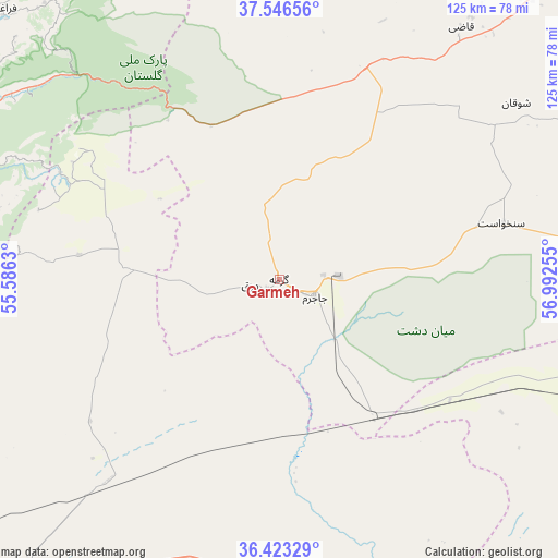
Garmeh GPS coordinates[2]
36° 59' 13.2" North, 56° 17' 21.912" East
| Map corner | latitude | longitude |
|---|---|---|
| Upper-left | 37.54656°, | 55.5863° |
| Center: | 36.987°, | 56.28942° |
| Lower-right: | 36.42329°, | 56.99255° |
| Map W x H: | 124.9×124.9 km | = 77.6×77.6mi |
| max Lat: | 39.6482° ⇑17% North |
| Garmeh: | 36.987° |
| min Lat: | ⇓83% South 25.2919° |
| min Long | Garmeh | max Long |
| 44.38416° | 56.28942° | 61.9965° |
| W 81.2%⇐ | ⇒18.8% E |
Elevation
Elevation of Garmeh is 1051 m = 3448 ft, and this is 2 m = 7 ft above average elevation for this country.
| Max E: |
2564 m = 8412 ft | 56% |
| Garmeh | 1051 m 3448 ft | |
| Avg. | 1049 m = 3442 ft | |
Min E: |
-24 m = -79 ft | 44% |
See also: Iran elevation on elevation.city.
Geographical zone
Garmeh is located in North temperate zone (between Tropic of Cancer and the Arctic Circle). Distance of this Northern Tropic circle is 1506.6 km =936.2 mi to South.| Distance of | km | miles | from Garmeh |
|---|---|---|---|
| North Pole | 5894.5 | 3662.7 | to North |
| Arctic Circle | 3288.6 | 2043.4 | to North |
| Tropic Cancer | 1506.6 | 936.2 | to South |
| Equator | 4112.6 | 2555.5 | to South |


Nearby cities:
15 places around Garmeh: (largest is in red/bold)
• Aliabad-e Katul
126.7 km =78.7 mi,  266°
266°
• Bojnūrd
106.8 km =66.4 mi,  59°
59°
• Esfarāyen
108.8 km =67.6 mi,  84°
84°
• Gonbad-e Kāvūs
103.7 km =64.4 mi,  286°
286°
• Gālīkesh
82.2 km =51.1 mi, 292°
• Joghtāy
79.9 km =49.6 mi,  119°
119°
• Jājarm
9 km =5.6 mi, 116°
• Kalāleh
82.9 km =51.5 mi,  301°
301°
• Marāveh Tappeh
106.1 km =65.9 mi,  343°
343°
• Mīnūdasht
85.7 km =53.3 mi, 288°
• Neqāb
105.4 km =65.5 mi,  107°
107°
• Rāmīān
102 km =63.4 mi, 271°
• Āq Qāyeh
105.2 km =65.4 mi, 287°
• Āshkhāneh
84.9 km =52.8 mi,  41°
41°
• Āzādshahr
99.8 km =62 mi,  276°
276°
Sources, notices
• [Note1] Compared only with cities in Iran existing in our database
• [Src1] Map data: © OpenStreetMap contributors (CC-BY-SA)
• [Src2] Other city data from geonames.org with taken over terms of usage.
• [Src3] Geographical zone / Annual Mean Temperature by Robert A. Rohde @ Wikipedia
