Dorūd geodata
Dorūd (Lorestān) is a seat of a second-order administrative division; located in Iran in Asia/Tehran (GMT+3.5) time zone. In our database, there are 232 cities with bigger population. Compared to other cities in Iran, 58% of cities are located further ↑North; 71.2% of cities are located further →East and 67.8% of cities have lower elevation than Dorūd. Note1


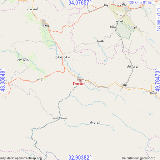
Dorūd GPS coordinates[2]
33° 29' 31.848" North, 49° 3' 41.76" East
| Map corner | latitude | longitude |
|---|---|---|
| Upper-left | 34.07657°, | 48.35848° |
| Center: | 33.49218°, | 49.0616° |
| Lower-right: | 32.90382°, | 49.76473° |
| Map W x H: | 130.4×130.4 km | = 81×81mi |
| max Lat: | 39.6482° ⇑58% North |
| Dorūd: | 33.49218° |
| min Lat: | ⇓42% South 25.2919° |
| min Long | Dorūd | max Long |
| 44.38416° | 49.0616° | 61.9965° |
| W 28.8%⇐ | ⇒71.2% E |
Elevation
Elevation of Dorūd is 1454 m = 4770 ft, and this is 405 m = 1329 ft above average elevation for this country.
| Max E: |
2564 m = 8412 ft | 32.2% |
| Dorūd | 1454 m 4770 ft | |
| Avg. | 1049 m = 3442 ft | |
Min E: |
-24 m = -79 ft | 67.8% |
See also: Iran elevation on elevation.city.
Geographical zone
Dorūd is located in North temperate zone (between Tropic of Cancer and the Arctic Circle). Distance of this Northern Tropic circle is 1118.1 km =694.8 mi to South.| Distance of | km | miles | from Dorūd |
|---|---|---|---|
| North Pole | 6283.1 | 3904.1 | to North |
| Arctic Circle | 3677.2 | 2284.9 | to North |
| Tropic Cancer | 1118.1 | 694.8 | to South |
| Equator | 3724 | 2314 | to South |


Nearby cities:
15 places around Dorūd: (largest is in red/bold)
• Aleshtar
84.7 km =52.6 mi,  299°
299°
• Alīgūdarz
59.3 km =36.8 mi,  99°
99°
• Anūch
82 km =51 mi,  326°
326°
• Arāk
89.2 km =55.4 mi,  41°
41°
• Aznā
17.8 km =11.1 mi,  317°
317°
• Aznā
36.8 km =22.9 mi, 96°
• Borūjerd
53.4 km =33.2 mi, 327°
• Famast
82.2 km =51.1 mi, 317°
• Khomeyn
95.8 km =59.5 mi,  80°
80°
• Khorramabad
65.4 km =40.6 mi,  269°
269°
• Malāyer
92.7 km =57.6 mi,  346°
346°
• Sarāb-e Dūreh
96.7 km =60.1 mi, 274°
• Shāzand
58.3 km =36.2 mi,  33°
33°
• Vasīān
93.9 km =58.3 mi, 269°
• pamas
82.2 km =51.1 mi, 317°
Sources, notices
• [Note1] Compared only with cities in Iran existing in our database
• [Src1] Map data: © OpenStreetMap contributors (CC-BY-SA)
• [Src2] Other city data from geonames.org with taken over terms of usage.
• [Src3] Geographical zone / Annual Mean Temperature by Robert A. Rohde @ Wikipedia
