Famast geodata
Famast (Hamadān) is a populated place; located in Iran in Asia/Tehran (GMT+3.5) time zone. With population of 1,081 people, there are 227 cities with bigger population in this country. Compared to other cities in Iran, 52.8% of cities are located further ↑North; 76.9% of cities are located further →East and 87.8% of cities have lower elevation than Famast. Note1


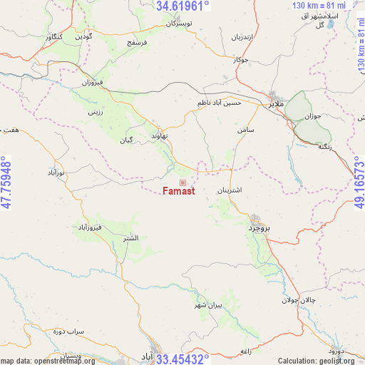
Famast GPS coordinates[2]
34° 2' 20.292" North, 48° 27' 45.36" East
| Map corner | latitude | longitude |
|---|---|---|
| Upper-left | 34.61961°, | 47.75948° |
| Center: | 34.03897°, | 48.4626° |
| Lower-right: | 33.45432°, | 49.16573° |
| Map W x H: | 129.6×129.6 km | = 80.5×80.5mi |
| max Lat: | 39.6482° ⇑52.8% North |
| Famast: | 34.03897° |
| min Lat: | ⇓47.2% South 25.2919° |
| min Long | Famast | max Long |
| 44.38416° | 48.4626° | 61.9965° |
| W 23.1%⇐ | ⇒76.9% E |
Elevation
Elevation of Famast is 1831 m = 6007 ft, and this is 782 m = 2566 ft above average elevation for this country.
| Max E: |
2564 m = 8412 ft | 12.2% |
| Famast | 1831 m 6007 ft | |
| Avg. | 1049 m = 3442 ft | |
Min E: |
-24 m = -79 ft | 87.8% |
See also: Iran elevation on elevation.city.
Geographical zone
Famast is located in North temperate zone (between Tropic of Cancer and the Arctic Circle). Distance of this Northern Tropic circle is 1178.9 km =732.5 mi to South.| Distance of | km | miles | from Famast |
|---|---|---|---|
| North Pole | 6222.3 | 3866.4 | to North |
| Arctic Circle | 3616.4 | 2247.1 | to North |
| Tropic Cancer | 1178.9 | 732.5 | to South |
| Equator | 3784.8 | 2351.8 | to South |


Nearby cities:
15 places around Famast: (largest is in red/bold)
• Aleshtar
26.8 km =16.7 mi,  223°
223°
• Anūch
12.8 km =8 mi,  53°
53°
• Aznā
64.4 km =40 mi,  137°
137°
• Borūjerd
31 km =19.3 mi,  120°
120°
• Kangāvar
69 km =42.9 mi,  318°
318°
• Khondāb
77.1 km =47.9 mi,  59°
59°
• Khorramabad
62.1 km =38.6 mi,  189°
189°
• Malāyer
44.1 km =27.4 mi, 48°
• Nahāvand
18.7 km =11.6 mi,  334°
334°
• Nūrābād
45.3 km =28.1 mi,  274°
274°
• Pasragad Branch
82.1 km =51 mi,  0°
0°
• Sarāb-e Dūreh
66.7 km =41.4 mi, 217°
• Tūyserkān
57 km =35.4 mi,  358°
358°
• Vasīān
71.9 km =44.7 mi,  212°
212°
• pamas
0.1 km =0.1 mi, 205°
Sources, notices
• [Note1] Compared only with cities in Iran existing in our database
• [Src1] Map data: © OpenStreetMap contributors (CC-BY-SA)
• [Src2] Other city data from geonames.org with taken over terms of usage.
• [Src3] Geographical zone / Annual Mean Temperature by Robert A. Rohde @ Wikipedia
