Alīgūdarz geodata
Alīgūdarz (Lorestān) is a seat of a second-order administrative division; located in Iran in Asia/Tehran (GMT+3.5) time zone. With population of 91,041 people, there are 77 cities with bigger population in this country. Compared to other cities in Iran, 59.2% of cities are located further ↑North; 65.1% of cities are located further →East and 93.2% of cities have lower elevation than Alīgūdarz. Note1


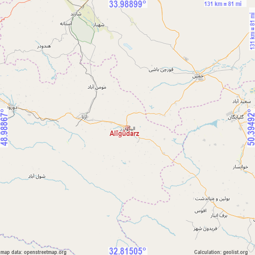
Alīgūdarz GPS coordinates[2]
33° 24' 14.4" North, 49° 41' 30.444" East
| Map corner | latitude | longitude |
|---|---|---|
| Upper-left | 33.98899°, | 48.98867° |
| Center: | 33.404°, | 49.69179° |
| Lower-right: | 32.81505°, | 50.39492° |
| Map W x H: | 130.5×130.5 km | = 81.1×81.1mi |
| max Lat: | 39.6482° ⇑59.2% North |
| Alīgūdarz: | 33.404° |
| min Lat: | ⇓40.8% South 25.2919° |
| min Long | Alīgūdarz | max Long |
| 44.38416° | 49.69179° | 61.9965° |
| W 34.9%⇐ | ⇒65.1% E |
Elevation
Elevation of Alīgūdarz is 1985 m = 6512 ft, and this is 936 m = 3071 ft above average elevation for this country.
| Max E: |
2564 m = 8412 ft | 6.8% |
| Alīgūdarz | 1985 m 6512 ft | |
| Avg. | 1049 m = 3442 ft | |
Min E: |
-24 m = -79 ft | 93.2% |
See also: Alīgūdarz elevation on elevation.city.
Geographical zone
Alīgūdarz is located in North temperate zone (between Tropic of Cancer and the Arctic Circle). Distance of this Northern Tropic circle is 1108.3 km =688.7 mi to South.| Distance of | km | miles | from Alīgūdarz |
|---|---|---|---|
| North Pole | 6292.9 | 3910.2 | to North |
| Arctic Circle | 3687 | 2291 | to North |
| Tropic Cancer | 1108.3 | 688.7 | to South |
| Equator | 3714.2 | 2307.9 | to South |


Nearby cities:
15 places around Alīgūdarz: (largest is in red/bold)
• Arāk
76.8 km =47.7 mi,  0°
0°
• Aznā
22.6 km =14 mi,  284°
284°
• Aznā
74.2 km =46.1 mi,  287°
287°
• Borūjerd
102.9 km =63.9 mi,  302°
302°
• Chelgard
111.6 km =69.3 mi,  158°
158°
• Chādegān
112.3 km =69.8 mi,  129°
129°
• Delījān
112.6 km =70 mi,  54°
54°
• Dorūd
59.3 km =36.8 mi, 279°
• Dārān
81.4 km =50.6 mi,  124°
124°
• Fareydūnshahr
65.2 km =40.5 mi,  142°
142°
• Golpāyegān
55.6 km =34.5 mi,  84°
84°
• Khomeyn
44.5 km =27.7 mi, 54°
• Khvānsār
61.4 km =38.2 mi,  109°
109°
• Maḩallāt
90.2 km =56 mi, 51°
• Shāzand
64.3 km =40 mi,  335°
335°
Sources, notices
• [Note1] Compared only with cities in Iran existing in our database
• [Src1] Map data: © OpenStreetMap contributors (CC-BY-SA)
• [Src2] Other city data from geonames.org with taken over terms of usage.
• [Src3] Geographical zone / Annual Mean Temperature by Robert A. Rohde @ Wikipedia
