Omīdcheh geodata
Omīdcheh (Ardabīl) is a populated place; located in Iran in Asia/Tehran (GMT+3.5) time zone. With population of 1,710 people, there are 224 cities with bigger population in this country. Compared to other cities in Iran, 95.9% of cities are located further ↓South; 80.7% of cities are located further →East and 70.1% of cities have lower elevation than Omīdcheh. Note1


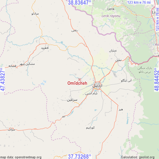
Omīdcheh GPS coordinates[2]
38° 17' 12.012" North, 48° 8' 29.004" East
| Map corner | latitude | longitude |
|---|---|---|
| Upper-left | 38.83647°, | 47.43827° |
| Center: | 38.28667°, | 48.14139° |
| Lower-right: | 37.73268°, | 48.84452° |
| Map W x H: | 122.7×122.7 km | = 76.2×76.2mi |
| max Lat: | 39.6482° ⇑4.1% North |
| Omīdcheh: | 38.28667° |
| min Lat: | ⇓95.9% South 25.2919° |
| min Long | Omīdcheh | max Long |
| 44.38416° | 48.14139° | 61.9965° |
| W 19.3%⇐ | ⇒80.7% E |
Elevation
Elevation of Omīdcheh is 1502 m = 4928 ft, and this is 453 m = 1486 ft above average elevation for this country.
| Max E: |
2564 m = 8412 ft | 29.9% |
| Omīdcheh | 1502 m 4928 ft | |
| Avg. | 1049 m = 3442 ft | |
Min E: |
-24 m = -79 ft | 70.1% |
See also: Iran elevation on elevation.city.
Geographical zone
Omīdcheh is located in North temperate zone (between Tropic of Cancer and the Arctic Circle). Distance of this Northern Tropic circle is 1651.2 km =1026 mi to South.| Distance of | km | miles | from Omīdcheh |
|---|---|---|---|
| North Pole | 5750 | 3572.9 | to North |
| Arctic Circle | 3144.1 | 1953.7 | to North |
| Tropic Cancer | 1651.2 | 1026 | to South |
| Equator | 4257.1 | 2645.2 | to South |


Nearby cities:
15 places around Omīdcheh: (largest is in red/bold)
• Ahar
95.8 km =59.5 mi,  282°
282°
• Ardabīl
13.9 km =8.6 mi,  107°
107°
• Germī
81.9 km =50.9 mi,  356°
356°
• Gīvī
69.1 km =42.9 mi,  165°
165°
• Hashtpar
86.3 km =53.6 mi,  129°
129°
• Herīs
89.5 km =55.6 mi,  267°
267°
• Kaleybar
115.4 km =71.7 mi,  303°
303°
• Khalkhāl
81.7 km =50.8 mi,  155°
155°
• Meshgīn Shahr
42 km =26.1 mi,  287°
287°
• Mīāneh
103.3 km =64.2 mi,  201°
201°
• Namīn
33.7 km =20.9 mi,  62°
62°
• Nīr
30.7 km =19.1 mi, 204°
• Reẕvānshahr
119.8 km =74.4 mi, 133°
• Sarāb
65.4 km =40.6 mi,  233°
233°
• Āstārā
65.6 km =40.8 mi,  76°
76°
Sources, notices
• [Note1] Compared only with cities in Iran existing in our database
• [Src1] Map data: © OpenStreetMap contributors (CC-BY-SA)
• [Src2] Other city data from geonames.org with taken over terms of usage.
• [Src3] Geographical zone / Annual Mean Temperature by Robert A. Rohde @ Wikipedia
