Germī geodata
Germī (Ardabīl) is a seat of a second-order administrative division; located in Iran in Asia/Tehran (GMT+3.5) time zone. In our database, there are 232 cities with bigger population. Compared to other cities in Iran, 98.4% of cities are located further ↓South; 81.2% of cities are located further →East and 65.1% of cities have higher elevation than Germī. Note1


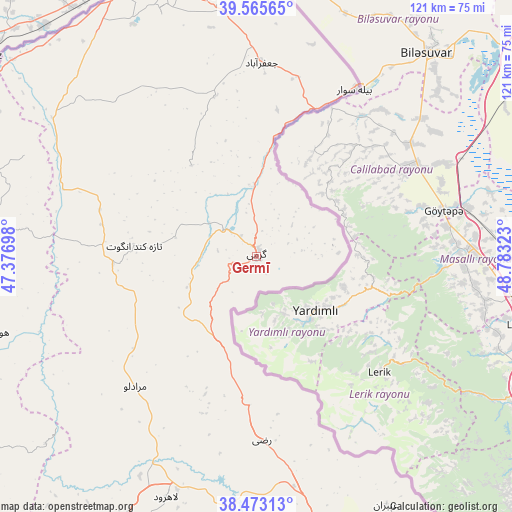
Germī GPS coordinates[2]
39° 1' 17.4" North, 48° 4' 48.36" East
| Map corner | latitude | longitude |
|---|---|---|
| Upper-left | 39.56565°, | 47.37698° |
| Center: | 39.0215°, | 48.0801° |
| Lower-right: | 38.47313°, | 48.78323° |
| Map W x H: | 121.5×121.5 km | = 75.5×75.5mi |
| max Lat: | 39.6482° ⇑1.6% North |
| Germī: | 39.0215° |
| min Lat: | ⇓98.4% South 25.2919° |
| min Long | Germī | max Long |
| 44.38416° | 48.0801° | 61.9965° |
| W 18.8%⇐ | ⇒81.2% E |
Elevation
Elevation of Germī is 854 m = 2802 ft, and this is 195 m = 640 ft below average elevation for this country.
| Max E: |
2564 m = 8412 ft | 65.1% |
| Avg. | 1049 m = 3442 ft | |
| Germī | 854 m = 2802 ft | |
Min E: |
-24 m = -79 ft | 34.9% |
See also: Iran elevation on elevation.city.
Geographical zone
Germī is located in North temperate zone (between Tropic of Cancer and the Arctic Circle). Distance of this Northern Tropic circle is 1732.9 km =1076.8 mi to South.| Distance of | km | miles | from Germī |
|---|---|---|---|
| North Pole | 5668.3 | 3522.1 | to North |
| Arctic Circle | 3062.4 | 1902.9 | to North |
| Tropic Cancer | 1732.9 | 1076.8 | to South |
| Equator | 4338.8 | 2696 | to South |


Nearby cities:
15 places around Germī: (largest is in red/bold)
• Ahar
106.5 km =66.2 mi,  235°
235°
• Ardabīl
87.8 km =54.6 mi,  167°
167°
• Bīleh Savār
46.3 km =28.8 mi,  30°
30°
• Gīvī
150.3 km =93.4 mi, 171°
• Hashtpar
154 km =95.7 mi,  152°
152°
• Herīs
120 km =74.6 mi,  224°
224°
• Kaleybar
91.7 km =57 mi,  259°
259°
• Khomārlū
91.3 km =56.7 mi,  278°
278°
• Meshgīn Shahr
77.4 km =48.1 mi,  206°
206°
• Namīn
74.8 km =46.5 mi, 152°
• Nīr
110 km =68.4 mi,  183°
183°
• Omīdcheh
81.9 km =50.9 mi, 176°
• Pārsābād
71.1 km =44.2 mi,  348°
348°
• Sarāb
129.1 km =80.2 mi,  201°
201°
• Āstārā
95.2 km =59.2 mi,  133°
133°
Sources, notices
• [Note1] Compared only with cities in Iran existing in our database
• [Src1] Map data: © OpenStreetMap contributors (CC-BY-SA)
• [Src2] Other city data from geonames.org with taken over terms of usage.
• [Src3] Geographical zone / Annual Mean Temperature by Robert A. Rohde @ Wikipedia
