Nemuro geodata
Nemuro (Hokkaido) is a seat of a second-order administrative division; located in Japan in Asia/Tokyo (GMT+9) time zone. With population of 31,223 people, there are 537 cities with bigger population in this country. Compared to other cities in Japan, 97.9% of cities are located further ↓South; 100% of cities are located further ←West and 54% of cities have higher elevation than Nemuro. Note1


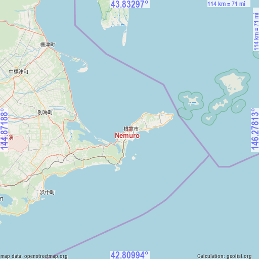
Nemuro GPS coordinates[2]
43° 19' 24.996" North, 145° 34' 30" East
| Map corner | latitude | longitude |
|---|---|---|
| Upper-left | 43.83297°, | 144.87188° |
| Center: | 43.32361°, | 145.575° |
| Lower-right: | 42.80994°, | 146.27813° |
| Map W x H: | 113.8×113.7 km | = 70.7×70.6mi |
| max Lat: | 45.40944° ⇑2.1% North |
| Nemuro: | 43.32361° |
| min Lat: | ⇓97.9% South 24.34478° |
| min Long | Nemuro | max Long |
| 123° | 145.575° | 145.575° |
| W 100%⇐ | ⇒0% E |
Elevation
Elevation of Nemuro is 24 m = 79 ft, and this is 60.6 m = 199 ft below average elevation for this country.
| Max E: |
1086 m = 3563 ft | 54% |
| Avg. | 84.6 m = 278 ft | |
| Nemuro | 24 m = 79 ft | |
Min E: |
-2 m = -7 ft | 46% |
See also: Japan elevation on elevation.city.
Geographical zone
Nemuro is located in North temperate zone (between Tropic of Cancer and the Arctic Circle). Distance of this Northern Tropic circle is 2211.2 km =1374 mi to South.| Distance of | km | miles | from Nemuro |
|---|---|---|---|
| North Pole | 5189.9 | 3224.9 | to North |
| Arctic Circle | 2584 | 1605.6 | to North |
| Tropic Cancer | 2211.2 | 1374 | to South |
| Equator | 4817.1 | 2993.2 | to South |


Nearby cities:
15 places around Nemuro: (largest is in red/bold)
• Abashiri
130.5 km =81.1 mi,  306°
306°
• Asahikawa
263.4 km =163.7 mi,  280°
280°
• Ashibetsu
274.5 km =170.6 mi,  274°
274°
• Furano
258.1 km =160.4 mi, 270°
• Kamikawa
233 km =144.8 mi, 284°
• Kitami
145.8 km =90.6 mi,  291°
291°
• Kushiro
104.8 km =65.1 mi,  248°
248°
• Mobetsu
206.6 km =128.4 mi,  300°
300°
• Mombetsu
211.8 km =131.6 mi, 302°
• Motomachi
131.6 km =81.8 mi, 295°
• Obihiro
197.6 km =122.8 mi,  256°
256°
• Otofuke
196.1 km =121.9 mi, 259°
• Shibetsu
51.7 km =32.1 mi,  316°
316°
• Shibetsu
272.2 km =169.1 mi, 290°
• Shimo-furano
258.1 km =160.4 mi, 270°
Sources, notices
• [Note1] Compared only with cities in Japan existing in our database
• [Src1] Map data: © OpenStreetMap contributors (CC-BY-SA)
• [Src2] Other city data from geonames.org with taken over terms of usage.
• [Src3] Geographical zone / Annual Mean Temperature by Robert A. Rohde @ Wikipedia
