Shibetsu geodata
Shibetsu (Hokkaido) is a populated place; located in Japan in Asia/Tokyo (GMT+9) time zone. With population of 21,744 people, there are 667 cities with bigger population in this country. Compared to other cities in Japan, 98.7% of cities are located further ↓South; 99.9% of cities are located further ←West and 96.8% of cities have higher elevation than Shibetsu. Note1


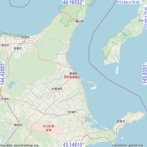
Shibetsu GPS coordinates[2]
43° 39' 32.364" North, 145° 7' 55.092" East
| Map corner | latitude | longitude |
|---|---|---|
| Upper-left | 44.16552°, | 144.42885° |
| Center: | 43.65899°, | 145.13197° |
| Lower-right: | 43.14815°, | 145.8351° |
| Map W x H: | 113.1×113.1 km | = 70.3×70.3mi |
| max Lat: | 45.40944° ⇑1.3% North |
| Shibetsu: | 43.65899° |
| min Lat: | ⇓98.7% South 24.34478° |
| min Long | Shibetsu | max Long |
| 123° | 145.13197° | 145.575° |
| W 99.9%⇐ | ⇒0.099999999999994% E |
Elevation
Elevation of Shibetsu is 2 m = 7 ft, and this is 82.6 m = 271 ft below average elevation for this country.
| Max E: |
1086 m = 3563 ft | 96.8% |
| Avg. | 84.6 m = 278 ft | |
| Shibetsu | 2 m = 7 ft | |
Min E: |
-2 m = -7 ft | 3.2% |
See also: Japan elevation on elevation.city.
Geographical zone
Shibetsu is located in North temperate zone (between Tropic of Cancer and the Arctic Circle). Distance of this Northern Tropic circle is 2248.5 km =1397.2 mi to South.| Distance of | km | miles | from Shibetsu |
|---|---|---|---|
| North Pole | 5152.6 | 3201.7 | to North |
| Arctic Circle | 2546.7 | 1582.4 | to North |
| Tropic Cancer | 2248.5 | 1397.2 | to South |
| Equator | 4854.4 | 3016.4 | to South |


Nearby cities:
15 places around Shibetsu: (largest is in red/bold)
• Abashiri
80 km =49.7 mi,  300°
300°
• Asahikawa
222.7 km =138.4 mi,  273°
273°
• Furano
224.3 km =139.4 mi,  261°
261°
• Kamikawa
190.7 km =118.5 mi,  276°
276°
• Kitami
101 km =62.8 mi, 279°
• Kushiro
97.7 km =60.7 mi,  218°
218°
• Mobetsu
157.3 km =97.7 mi, 295°
• Mombetsu
161.9 km =100.6 mi, 298°
• Motomachi
85.2 km =52.9 mi, 282°
• Nayoro
227.3 km =141.2 mi,  289°
289°
• Nemuro
51.7 km =32.1 mi,  136°
136°
• Obihiro
176.5 km =109.7 mi,  242°
242°
• Otofuke
173 km =107.5 mi, 244°
• Shibetsu
226.5 km =140.7 mi, 284°
• Shimo-furano
224.3 km =139.4 mi, 261°
Sources, notices
• [Note1] Compared only with cities in Japan existing in our database
• [Src1] Map data: © OpenStreetMap contributors (CC-BY-SA)
• [Src2] Other city data from geonames.org with taken over terms of usage.
• [Src3] Geographical zone / Annual Mean Temperature by Robert A. Rohde @ Wikipedia
