Malikisi geodata
Malikisi (Bungoma) is a populated place; located in Kenya in Africa/Nairobi (GMT+3) time zone. With population of 4,319 people, there are 92 cities with bigger population in this country. Compared to other cities in Kenya, 91.2% of cities are located further ↓South; 92.1% of cities are located further →East and 57% of cities have higher elevation than Malikisi. Note1


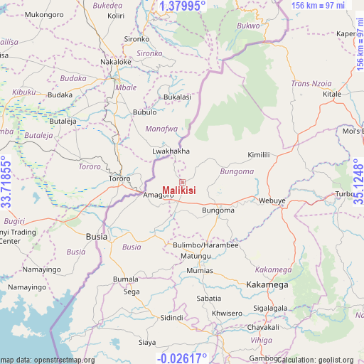
Malikisi GPS coordinates[2]
0° 40' 36.984" North, 34° 25' 18.012" East
| Map corner | latitude | longitude |
|---|---|---|
| Upper-left | 1.37995°, | 33.71855° |
| Center: | 0.67694°, | 34.42167° |
| Lower-right: | -0.02617°, | 35.1248° |
| Map W x H: | 156.3×156.3 km | = 97.1×97.1mi |
| max Lat: | 3.93726° ⇑8.8% North |
| Malikisi: | 0.67694° |
| min Lat: | ⇓91.2% South -4.64756° |
| min Long | Malikisi | max Long |
| 33.97248° | 34.42167° | 41.85688° |
| W 7.9%⇐ | ⇒92.1% E |
Elevation
Elevation of Malikisi is 1343 m = 4406 ft, and this is 3.7 m = 12 ft below average elevation for this country.
| Max E: |
2514 m = 8248 ft | 57% |
| Avg. | 1346.7 m = 4418 ft | |
| Malikisi | 1343 m = 4406 ft | |
Min E: |
7 m = 23 ft | 43% |
See also: Kenya elevation on elevation.city.
Geographical zone
Malikisi is located in North Torrid zone (between Equator and Tropic of Cancer). Distance of Equator is 75.3 km =46.8 mi to South.| Distance of | km | miles | from Malikisi |
|---|---|---|---|
| North Pole | 9931.8 | 6171.3 | to North |
| Arctic Circle | 7325.9 | 4552.1 | to North |
| Tropic Cancer | 2530.7 | 1572.5 | to North |
| Equator | 75.3 | 46.8 | to South |


Nearby cities:
15 places around Malikisi: (largest is in red/bold)
• Bondo
51.5 km =32 mi,  197°
197°
• Bungoma
19.9 km =12.4 mi,  129°
129°
• Bungoma
20.8 km =12.9 mi,  120°
120°
• Busia
42.1 km =26.2 mi,  235°
235°
• Butere
52.8 km =32.8 mi,  171°
171°
• Kakamega
57.1 km =35.5 mi,  139°
139°
• Luanda
56.1 km =34.9 mi,  223°
223°
• Lugulu
34.1 km =21.2 mi, 202°
• Malaba
16.2 km =10.1 mi,  253°
253°
• Mbale
74.1 km =46 mi,  153°
153°
• Mumias
38.8 km =24.1 mi, 169°
• Nambare
30.7 km =19.1 mi, 217°
• Siaya
70.1 km =43.6 mi,  192°
192°
• Webuye
39.8 km =24.7 mi,  102°
102°
• Yala
66 km =41 mi, 168°
Sources, notices
• [Note1] Compared only with cities in Kenya existing in our database
• [Src1] Map data: © OpenStreetMap contributors (CC-BY-SA)
• [Src2] Other city data from geonames.org with taken over terms of usage.
• [Src3] Geographical zone / Annual Mean Temperature by Robert A. Rohde @ Wikipedia
