Belovodskoye geodata
Belovodskoye (Chüy) is a seat of a second-order administrative division; located in Kyrgyzstan in Asia/Bishkek (GMT+6) time zone. In our database, there are 37 cities with bigger population. Compared to other cities in Kyrgyzstan, 92.9% of cities are located further ↓South; 73.8% of cities are located further ←West and 88.1% of cities have higher elevation than Belovodskoye. Note1


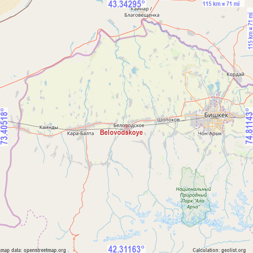
Belovodskoye GPS coordinates[2]
42° 49' 45.984" North, 74° 6' 29.88" East
| Map corner | latitude | longitude |
|---|---|---|
| Upper-left | 43.34295°, | 73.40518° |
| Center: | 42.82944°, | 74.1083° |
| Lower-right: | 42.31163°, | 74.81143° |
| Map W x H: | 114.7×114.7 km | = 71.3×71.3mi |
| max Lat: | 42.89106° ⇑7.1% North |
| Belovodskoye: | 42.82944° |
| min Lat: | ⇓92.9% South 39.55274° |
| min Long | Belovodskoye | max Long |
| 69.3716° | 74.1083° | 78.52702° |
| W 73.8%⇐ | ⇒26.2% E |
Elevation
Elevation of Belovodskoye is 742 m = 2434 ft, and this is 459.4 m = 1507 ft below average elevation for this country.
| Max E: |
2638 m = 8655 ft | 88.1% |
| Avg. | 1201.4 m = 3942 ft | |
| Belovodskoye | 742 m = 2434 ft | |
Min E: |
504 m = 1654 ft | 11.9% |
See also: Kyrgyzstan elevation on elevation.city.
Geographical zone
Belovodskoye is located in North temperate zone (between Tropic of Cancer and the Arctic Circle). Distance of this Northern Tropic circle is 2156.3 km =1339.9 mi to South.| Distance of | km | miles | from Belovodskoye |
|---|---|---|---|
| North Pole | 5244.9 | 3259 | to North |
| Arctic Circle | 2639 | 1639.8 | to North |
| Tropic Cancer | 2156.3 | 1339.9 | to South |
| Equator | 4762.2 | 2959.1 | to South |


Nearby cities:
15 places around Belovodskoye: (largest is in red/bold)
• Bishkek
39.5 km =24.5 mi,  83°
83°
• Chayek
105.7 km =65.7 mi,  161°
161°
• Chuy
95.7 km =59.5 mi,  90°
90°
• Ivanovka
79.9 km =49.6 mi, 85°
• Kaindy
35.3 km =21.9 mi,  269°
269°
• Kant
60.9 km =37.8 mi, 83°
• Kara-Balta
21.3 km =13.2 mi, 265°
• Kemin
129.2 km =80.3 mi, 92°
• Lebedinovka
46.9 km =29.1 mi, 82°
• Sokuluk
16.1 km =10 mi, 80°
• Sosnovka
27.5 km =17.1 mi,  219°
219°
• Talas
130 km =80.8 mi,  246°
246°
• Tokmok
97.3 km =60.5 mi, 89°
• Toktogul
143 km =88.9 mi, 222°
• Üch-Terek
140.2 km =87.1 mi,  212°
212°
Sources, notices
• [Note1] Compared only with cities in Kyrgyzstan existing in our database
• [Src1] Map data: © OpenStreetMap contributors (CC-BY-SA)
• [Src2] Other city data from geonames.org with taken over terms of usage.
• [Src3] Geographical zone / Annual Mean Temperature by Robert A. Rohde @ Wikipedia
