Tūghyl geodata
Tūghyl (East Kazakhstan) is a populated place; located in Kazakhstan in Asia/Almaty (GMT+5) time zone. With population of 6,696 people, there are 161 cities with bigger population in this country. Compared to other cities in Kazakhstan, 57.8% of cities are located further ↑North; 98.9% of cities are located further ←West and 62.2% of cities have lower elevation than Tūghyl. Note1


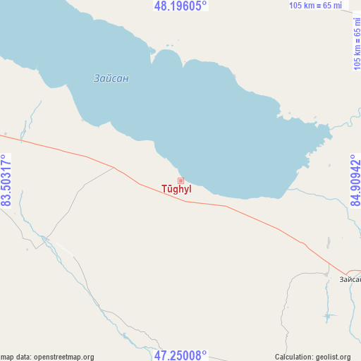
Tūghyl GPS coordinates[2]
47° 43' 30.756" North, 84° 12' 22.644" East
| Map corner | latitude | longitude |
|---|---|---|
| Upper-left | 48.19605°, | 83.50317° |
| Center: | 47.72521°, | 84.20629° |
| Lower-right: | 47.25008°, | 84.90942° |
| Map W x H: | 105.2×105.2 km | = 65.4×65.4mi |
| max Lat: | 54.90596° ⇑57.8% North |
| Tūghyl: | 47.72521° |
| min Lat: | ⇓42.2% South 40.66338° |
| min Long | Tūghyl | max Long |
| 46.83361° | 84.20629° | 84.87144° |
| W 98.9%⇐ | ⇒1.1% E |
Elevation
Elevation of Tūghyl is 404 m = 1325 ft, and this is 47.5 m = 156 ft above average elevation for this country.
| Max E: |
1847 m = 6060 ft | 37.8% |
| Tūghyl | 404 m 1325 ft | |
| Avg. | 356.5 m = 1170 ft | |
Min E: |
-26 m = -85 ft | 62.2% |
See also: Kazakhstan elevation on elevation.city.
Geographical zone
Tūghyl is located in North temperate zone (between Tropic of Cancer and the Arctic Circle). Distance of this North polar circle is 2094.6 km =1301.5 mi to North.| Distance of | km | miles | from Tūghyl |
|---|---|---|---|
| North Pole | 4700.5 | 2920.8 | to North |
| Arctic Circle | 2094.6 | 1301.5 | to North |
| Tropic Cancer | 2700.6 | 1678.1 | to South |
| Equator | 5306.5 | 3297.3 | to South |


Nearby cities:
15 places around Tūghyl: (largest is in red/bold)
• Aksuat
116.4 km =72.3 mi,  341°
341°
• Asūbulaq
220.3 km =136.9 mi, 337°
• Belogorskīy
209.7 km =130.3 mi, 338°
• Georgīevka
263.2 km =163.5 mi,  312°
312°
• Kokpekty
175.7 km =109.2 mi, 310°
• Kurchum
101.9 km =63.3 mi, 336°
• Maleyevsk
232.4 km =144.4 mi,  1°
1°
• Ognevka
234.6 km =145.8 mi, 338°
• Pervorosiyskiy
223 km =138.6 mi,  353°
353°
• Priisk Boko
240.4 km =149.4 mi, 308°
• Urzhar
206.2 km =128.1 mi,  250°
250°
• Zaysan
57.6 km =35.8 mi,  119°
119°
• Zhalghyztobe
275.4 km =171.1 mi, 306°
• Zhanga Buqtyrma
217.6 km =135.2 mi, 346°
• Zyryanovsk
222.6 km =138.3 mi, 1°
Sources, notices
• [Note1] Compared only with cities in Kazakhstan existing in our database
• [Src1] Map data: © OpenStreetMap contributors (CC-BY-SA)
• [Src2] Other city data from geonames.org with taken over terms of usage.
• [Src3] Geographical zone / Annual Mean Temperature by Robert A. Rohde @ Wikipedia
