Komsomolets geodata
Komsomolets (Qostanay) is a populated place; located in Kazakhstan in Asia/Qostanay (GMT+5) time zone. With population of 9,838 people, there are 117 cities with bigger population in this country. Compared to other cities in Kazakhstan, 96.7% of cities are located further ↓South; 78.9% of cities are located further →East and 68.5% of cities have higher elevation than Komsomolets. Note1


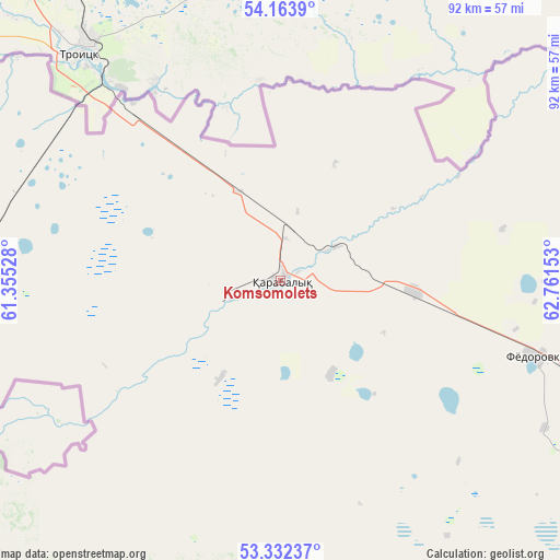
Komsomolets GPS coordinates[2]
53° 45' 0.684" North, 62° 3' 30.24" East
| Map corner | latitude | longitude |
|---|---|---|
| Upper-left | 54.1639°, | 61.35528° |
| Center: | 53.75019°, | 62.0584° |
| Lower-right: | 53.33237°, | 62.76153° |
| Map W x H: | 92.5×92.5 km | = 57.5×57.5mi |
| max Lat: | 54.90596° ⇑3.3% North |
| Komsomolets: | 53.75019° |
| min Lat: | ⇓96.7% South 40.66338° |
| min Long | Komsomolets | max Long |
| 46.83361° | 62.0584° | 84.87144° |
| W 21.1%⇐ | ⇒78.9% E |
Elevation
Elevation of Komsomolets is 190 m = 623 ft, and this is 166.5 m = 546 ft below average elevation for this country.
| Max E: |
1847 m = 6060 ft | 68.5% |
| Avg. | 356.5 m = 1170 ft | |
| Komsomolets | 190 m = 623 ft | |
Min E: |
-26 m = -85 ft | 31.5% |
See also: Kazakhstan elevation on elevation.city.
Geographical zone
Komsomolets is located in North temperate zone (between Tropic of Cancer and the Arctic Circle). Distance of this North polar circle is 1424.7 km =885.3 mi to North.| Distance of | km | miles | from Komsomolets |
|---|---|---|---|
| North Pole | 4030.6 | 2504.5 | to North |
| Arctic Circle | 1424.7 | 885.3 | to North |
| Tropic Cancer | 3370.5 | 2094.3 | to South |
| Equator | 5976.5 | 3713.6 | to South |


Nearby cities:
12 places around Komsomolets: (largest is in red/bold)
• Ayat
106.2 km =66 mi,  163°
163°
• Borovskoy
139.7 km =86.8 mi,  88°
88°
• Dzhetygara
182.8 km =113.6 mi,  198°
198°
• Fyodorovka
43.8 km =27.2 mi,  106°
106°
• Karasu
258.3 km =160.5 mi,  117°
117°
• Kostanay
119.5 km =74.3 mi, 119°
• Lisakovsk
137 km =85.1 mi,  167°
167°
• Ordzhonikidze
146.3 km =90.9 mi,  188°
188°
• Qashar
68.3 km =42.4 mi,  128°
128°
• Qusmuryn
223.8 km =139.1 mi, 130°
• Rudnyy
111.4 km =69.2 mi,  140°
140°
• Tobol
122.7 km =76.2 mi, 163°
Sources, notices
• [Note1] Compared only with cities in Kazakhstan existing in our database
• [Src1] Map data: © OpenStreetMap contributors (CC-BY-SA)
• [Src2] Other city data from geonames.org with taken over terms of usage.
• [Src3] Geographical zone / Annual Mean Temperature by Robert A. Rohde @ Wikipedia
