Lisakovsk geodata
Lisakovsk (Qostanay) is a populated place; located in Kazakhstan in Asia/Qostanay (GMT+5) time zone. With population of 40,000 people, there are 39 cities with bigger population in this country. Compared to other cities in Kazakhstan, 87.8% of cities are located further ↓South; 77.8% of cities are located further →East and 67.8% of cities have higher elevation than Lisakovsk. Note1


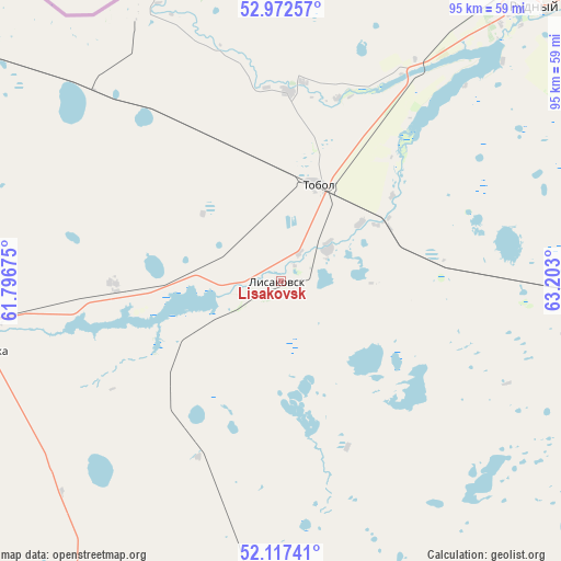
Lisakovsk GPS coordinates[2]
52° 32' 49.452" North, 62° 29' 59.532" East
| Map corner | latitude | longitude |
|---|---|---|
| Upper-left | 52.97257°, | 61.79675° |
| Center: | 52.54707°, | 62.49987° |
| Lower-right: | 52.11741°, | 63.203° |
| Map W x H: | 95.1×95.1 km | = 59.1×59.1mi |
| max Lat: | 54.90596° ⇑12.2% North |
| Lisakovsk: | 52.54707° |
| min Lat: | ⇓87.8% South 40.66338° |
| min Long | Lisakovsk | max Long |
| 46.83361° | 62.49987° | 84.87144° |
| W 22.2%⇐ | ⇒77.8% E |
Elevation
Elevation of Lisakovsk is 192 m = 630 ft, and this is 164.5 m = 540 ft below average elevation for this country.
| Max E: |
1847 m = 6060 ft | 67.8% |
| Avg. | 356.5 m = 1170 ft | |
| Lisakovsk | 192 m = 630 ft | |
Min E: |
-26 m = -85 ft | 32.2% |
See also: Lisakovsk elevation on elevation.city.
Geographical zone
Lisakovsk is located in North temperate zone (between Tropic of Cancer and the Arctic Circle). Distance of this North polar circle is 1558.5 km =968.4 mi to North.| Distance of | km | miles | from Lisakovsk |
|---|---|---|---|
| North Pole | 4164.4 | 2587.6 | to North |
| Arctic Circle | 1558.5 | 968.4 | to North |
| Tropic Cancer | 3236.8 | 2011.3 | to South |
| Equator | 5842.7 | 3630.5 | to South |


Nearby cities:
14 places around Lisakovsk: (largest is in red/bold)
• Ayat
32.1 km =19.9 mi,  2°
2°
• Borovskoy
178.2 km =110.7 mi,  38°
38°
• Dzhetygara
96.8 km =60.1 mi,  245°
245°
• Esil
274 km =170.3 mi,  103°
103°
• Fyodorovka
122 km =75.8 mi,  6°
6°
• Karasu
201.9 km =125.5 mi,  86°
86°
• Komsomolets
137 km =85.1 mi,  347°
347°
• Kostanay
105.8 km =65.7 mi,  45°
45°
• Ordzhonikidze
52 km =32.3 mi,  257°
257°
• Qashar
94.6 km =58.8 mi,  15°
15°
• Qusmuryn
143.9 km =89.4 mi, 94°
• Rudnyy
63 km =39.1 mi, 41°
• Tobol
17.4 km =10.8 mi, 20°
• Torghay
331.3 km =205.9 mi,  167°
167°
Sources, notices
• [Note1] Compared only with cities in Kazakhstan existing in our database
• [Src1] Map data: © OpenStreetMap contributors (CC-BY-SA)
• [Src2] Other city data from geonames.org with taken over terms of usage.
• [Src3] Geographical zone / Annual Mean Temperature by Robert A. Rohde @ Wikipedia
