Shubarköl geodata
Shubarköl (Karaganda) is a populated place; located in Kazakhstan in Asia/Almaty (GMT+5) time zone. With population of 1,247 people, there are 260 cities with bigger population in this country. Compared to other cities in Kazakhstan, 51.5% of cities are located further ↓South; 60% of cities are located further →East and 67.4% of cities have lower elevation than Shubarköl. Note1


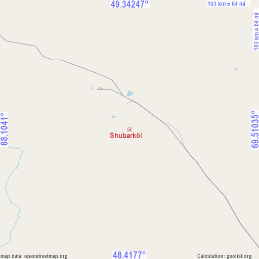
Shubarköl GPS coordinates[2]
48° 52' 55.992" North, 68° 48' 25.992" East
| Map corner | latitude | longitude |
|---|---|---|
| Upper-left | 49.34247°, | 68.1041° |
| Center: | 48.88222°, | 68.80722° |
| Lower-right: | 48.4177°, | 69.51035° |
| Map W x H: | 102.8×102.8 km | = 63.9×63.9mi |
| max Lat: | 54.90596° ⇑48.5% North |
| Shubarköl: | 48.88222° |
| min Lat: | ⇓51.5% South 40.66338° |
| min Long | Shubarköl | max Long |
| 46.83361° | 68.80722° | 84.87144° |
| W 40%⇐ | ⇒60% E |
Elevation
Elevation of Shubarköl is 442 m = 1450 ft, and this is 85.5 m = 281 ft above average elevation for this country.
| Max E: |
1847 m = 6060 ft | 32.6% |
| Shubarköl | 442 m 1450 ft | |
| Avg. | 356.5 m = 1170 ft | |
Min E: |
-26 m = -85 ft | 67.4% |
See also: Kazakhstan elevation on elevation.city.
Geographical zone
Shubarköl is located in North temperate zone (between Tropic of Cancer and the Arctic Circle). Distance of this North polar circle is 1966 km =1221.6 mi to North.| Distance of | km | miles | from Shubarköl |
|---|---|---|---|
| North Pole | 4571.9 | 2840.8 | to North |
| Arctic Circle | 1966 | 1221.6 | to North |
| Tropic Cancer | 2829.3 | 1758 | to South |
| Equator | 5435.2 | 3377.3 | to South |


Nearby cities:
15 places around Shubarköl: (largest is in red/bold)
• Arkalyk
204 km =126.8 mi,  318°
318°
• Astrakhan
302.8 km =188.2 mi,  13°
13°
• Atasū
209 km =129.9 mi,  95°
95°
• Derzhavīnsk
304.1 km =189 mi, 324°
• Dolinka
294.3 km =182.9 mi,  72°
72°
• Egindiköl
246.2 km =153 mi, 11°
• Kyzylzhar
300.7 km =186.8 mi, 66°
• Kīevka
250.2 km =155.5 mi,  52°
52°
• Novodolinskiy
297.3 km =184.7 mi, 72°
• Nur-Sultan
317.4 km =197.2 mi,  36°
36°
• Qarazhal
176.1 km =109.4 mi,  123°
123°
• Shakhan
297.4 km =184.8 mi, 69°
• Shakhtinsk
289.4 km =179.8 mi, 71°
• Zhambyl
267.8 km =166.4 mi,  134°
134°
• Zhezqazghan
144.4 km =89.7 mi,  212°
212°
Sources, notices
• [Note1] Compared only with cities in Kazakhstan existing in our database
• [Src1] Map data: © OpenStreetMap contributors (CC-BY-SA)
• [Src2] Other city data from geonames.org with taken over terms of usage.
• [Src3] Geographical zone / Annual Mean Temperature by Robert A. Rohde @ Wikipedia
