Zhambyl geodata
Zhambyl (Karaganda) is a populated place; located in Kazakhstan in Asia/Almaty (GMT+5) time zone. With population of 1,336 people, there are 258 cities with bigger population in this country. Compared to other cities in Kazakhstan, 60.4% of cities are located further ↑North; 54.1% of cities are located further ←West and 83% of cities have lower elevation than Zhambyl. Note1


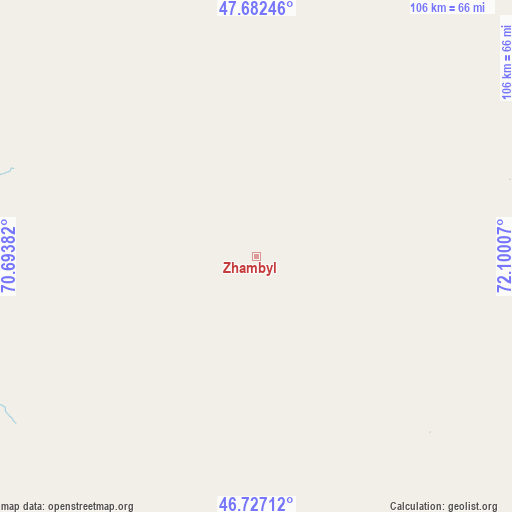
Zhambyl GPS coordinates[2]
47° 12' 24.984" North, 71° 23' 48.984" East
| Map corner | latitude | longitude |
|---|---|---|
| Upper-left | 47.68246°, | 70.69382° |
| Center: | 47.20694°, | 71.39694° |
| Lower-right: | 46.72712°, | 72.10007° |
| Map W x H: | 106.2×106.2 km | = 66×66mi |
| max Lat: | 54.90596° ⇑60.4% North |
| Zhambyl: | 47.20694° |
| min Lat: | ⇓39.6% South 40.66338° |
| min Long | Zhambyl | max Long |
| 46.83361° | 71.39694° | 84.87144° |
| W 54.1%⇐ | ⇒45.9% E |
Elevation
Elevation of Zhambyl is 611 m = 2005 ft, and this is 254.5 m = 835 ft above average elevation for this country.
| Max E: |
1847 m = 6060 ft | 17% |
| Zhambyl | 611 m 2005 ft | |
| Avg. | 356.5 m = 1170 ft | |
Min E: |
-26 m = -85 ft | 83% |
See also: Kazakhstan elevation on elevation.city.
Geographical zone
Zhambyl is located in North temperate zone (between Tropic of Cancer and the Arctic Circle). Distance of this North polar circle is 2152.3 km =1337.4 mi to North.| Distance of | km | miles | from Zhambyl |
|---|---|---|---|
| North Pole | 4758.1 | 2956.5 | to North |
| Arctic Circle | 2152.3 | 1337.4 | to North |
| Tropic Cancer | 2643 | 1642.3 | to South |
| Equator | 5248.9 | 3261.5 | to South |


Nearby cities:
15 places around Zhambyl: (largest is in red/bold)
• Aksu-Ayuly
242.5 km =150.7 mi,  44°
44°
• Aktau
141.5 km =87.9 mi,  49°
49°
• Aqadyr
160.2 km =99.5 mi, 43°
• Aqbaqay
267.6 km =166.3 mi,  156°
156°
• Aqshataū
217.6 km =135.2 mi,  66°
66°
• Atasū
165.6 km =102.9 mi,  6°
6°
• Gülshat
233.7 km =145.2 mi,  105°
105°
• Moyynty
148.8 km =92.5 mi,  89°
89°
• Mynaral
265.5 km =165 mi,  138°
138°
• Priozersk
219.3 km =136.3 mi,  126°
126°
• Qarazhal
99.6 km =61.9 mi,  333°
333°
• Saryshaghan
208.3 km =129.4 mi, 125°
• Shubarköl
267.8 km =166.4 mi,  314°
314°
• Verkhniye Kayrakty
216.1 km =134.3 mi, 40°
• Zharyk
212.4 km =132 mi,  30°
30°
Sources, notices
• [Note1] Compared only with cities in Kazakhstan existing in our database
• [Src1] Map data: © OpenStreetMap contributors (CC-BY-SA)
• [Src2] Other city data from geonames.org with taken over terms of usage.
• [Src3] Geographical zone / Annual Mean Temperature by Robert A. Rohde @ Wikipedia
