Astrakhan geodata
Astrakhan (Aqmola) is a populated place; located in Kazakhstan in Asia/Almaty (GMT+5) time zone. With population of 6,459 people, there are 164 cities with bigger population in this country. Compared to other cities in Kazakhstan, 78.9% of cities are located further ↓South; 53.3% of cities are located further →East and 52.2% of cities have higher elevation than Astrakhan. Note1


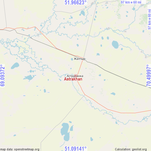
Astrakhan GPS coordinates[2]
51° 31' 51.312" North, 69° 47' 48.624" East
| Map corner | latitude | longitude |
|---|---|---|
| Upper-left | 51.96623°, | 69.09372° |
| Center: | 51.53092°, | 69.79684° |
| Lower-right: | 51.09141°, | 70.49997° |
| Map W x H: | 97.3×97.3 km | = 60.5×60.5mi |
| max Lat: | 54.90596° ⇑21.1% North |
| Astrakhan: | 51.53092° |
| min Lat: | ⇓78.9% South 40.66338° |
| min Long | Astrakhan | max Long |
| 46.83361° | 69.79684° | 84.87144° |
| W 46.7%⇐ | ⇒53.3% E |
Elevation
Elevation of Astrakhan is 302 m = 991 ft, and this is 54.5 m = 179 ft below average elevation for this country.
| Max E: |
1847 m = 6060 ft | 52.2% |
| Avg. | 356.5 m = 1170 ft | |
| Astrakhan | 302 m = 991 ft | |
Min E: |
-26 m = -85 ft | 47.8% |
See also: Kazakhstan elevation on elevation.city.
Geographical zone
Astrakhan is located in North temperate zone (between Tropic of Cancer and the Arctic Circle). Distance of this North polar circle is 1671.5 km =1038.6 mi to North.| Distance of | km | miles | from Astrakhan |
|---|---|---|---|
| North Pole | 4277.4 | 2657.9 | to North |
| Arctic Circle | 1671.5 | 1038.6 | to North |
| Tropic Cancer | 3123.8 | 1941 | to South |
| Equator | 5729.7 | 3560.3 | to South |


Nearby cities:
15 places around Astrakhan: (largest is in red/bold)
• Akkol
94.4 km =58.7 mi,  56°
56°
• Atbasar
103.7 km =64.4 mi,  287°
287°
• Atbasar
105.3 km =65.4 mi, 286°
• Balkashino
131 km =81.4 mi,  326°
326°
• Būrabay
176.2 km =109.5 mi,  11°
11°
• Egindiköl
57.4 km =35.7 mi,  202°
202°
• Makinsk
129.7 km =80.6 mi,  19°
19°
• Nur-Sultan
121 km =75.2 mi,  108°
108°
• Shantobe
151.2 km =94 mi,  312°
312°
• Shchuchinsk
158.5 km =98.5 mi, 9°
• Shortandy
84.8 km =52.7 mi,  77°
77°
• Stepnogorsk
169.5 km =105.3 mi, 57°
• Stepnyak
160 km =99.4 mi, 24°
• Zhaqsy
176 km =109.4 mi,  283°
283°
• Zholymbet
134.3 km =83.5 mi, 79°
Sources, notices
• [Note1] Compared only with cities in Kazakhstan existing in our database
• [Src1] Map data: © OpenStreetMap contributors (CC-BY-SA)
• [Src2] Other city data from geonames.org with taken over terms of usage.
• [Src3] Geographical zone / Annual Mean Temperature by Robert A. Rohde @ Wikipedia
