Zwedru geodata
Zwedru (Grand Gedeh) is a seat of a first-order administrative division; located in Liberia in Africa/Monrovia (GMT+0) time zone. With population of 25,678 people, there are 7 cities with bigger population in this country. Compared to other cities in Liberia, 66.7% of cities are located further ↑North; 88.9% of cities are located further ←West and 66.7% of cities have lower elevation than Zwedru. Note1


Zwedru GPS coordinates[2]
6° 4' 6.456" North, 8° 8' 8.124" West
| Map corner | latitude | longitude |
|---|---|---|
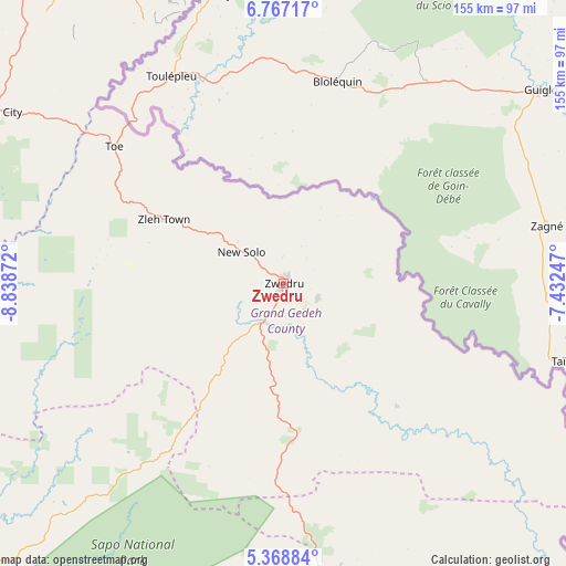
| Upper-left | 6.76717°, | -8.83872° |
| Center: | 6.06846°, | -8.13559° |
| Lower-right: | 5.36884°, | -7.43247° |
| Map W x H: | 155.5×155.5 km | = 96.6×96.6mi |
| max Lat: | 8.42194° ⇑66.7% North |
| Zwedru: | 6.06846° |
| min Lat: | ⇓33.3% South 4.3782° |
| min Long | Zwedru | max Long |
| -11.3671° | -8.13559° | -7.71081° |
| W 88.9%⇐ | ⇒11.1% E |
Elevation
Elevation of Zwedru is 221 m = 725 ft, and this is 41.9 m = 137 ft above average elevation for this country.
| Max E: |
550 m = 1804 ft | 33.3% |
| Zwedru | 221 m 725 ft | |
| Avg. | 179.1 m = 588 ft | |
Min E: |
5 m = 16 ft | 66.7% |
See also: Liberia elevation on elevation.city.
Geographical zone
Zwedru is located in North Torrid zone (between Equator and Tropic of Cancer). Distance of Equator is 674.7 km =419.2 mi to South.| Distance of | km | miles | from Zwedru |
|---|---|---|---|
| North Pole | 9332.3 | 5798.8 | to North |
| Arctic Circle | 6726.4 | 4179.6 | to North |
| Tropic Cancer | 1931.2 | 1200 | to North |
| Equator | 674.7 | 419.2 | to South |


Nearby cities:
15 places around Zwedru: (largest is in red/bold)
• Barclayville
155.4 km =96.6 mi,  183°
183°
• Bensonville
277 km =172.1 mi,  278°
278°
• Bopolu
282.5 km =175.5 mi,  293°
293°
• Buchanan
212.7 km =132.2 mi,  264°
264°
• Buutuo
87.4 km =54.3 mi,  344°
344°
• Cestos City
173.8 km =108 mi,  246°
246°
• Fish Town
101 km =62.8 mi,  163°
163°
• Ganta
144 km =89.5 mi, 342°
• Gbarnga
180 km =111.8 mi,  304°
304°
• Greenville
154.3 km =95.9 mi,  220°
220°
• Harper
193.7 km =120.4 mi,  165°
165°
• Kakata
250.5 km =155.7 mi, 281°
• Monrovia
295.3 km =183.5 mi, 275°
• New Yekepa
173.8 km =108 mi,  345°
345°
• Sanniquellie
157.4 km =97.8 mi, 336°
Sources, notices
• [Note1] Compared only with cities in Liberia existing in our database
• [Src1] Map data: © OpenStreetMap contributors (CC-BY-SA)
• [Src2] Other city data from geonames.org with taken over terms of usage.
• [Src3] Geographical zone / Annual Mean Temperature by Robert A. Rohde @ Wikipedia
