Monrovia geodata
Monrovia (Montserrado) is a capital of a political entity; located in Liberia in Africa/Monrovia (GMT+0) time zone. With population of 939,524 people, there are 0 cities with bigger population in this country. Compared to other cities in Liberia, 61.1% of cities are located further ↑North; 88.9% of cities are located further →East and 72.2% of cities have higher elevation than Monrovia. Note1


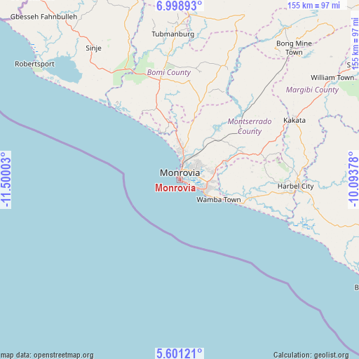
Monrovia GPS coordinates[2]
6° 18' 1.944" North, 10° 47' 48.84" West
| Map corner | latitude | longitude |
|---|---|---|
| Upper-left | 6.99893°, | -11.50003° |
| Center: | 6.30054°, | -10.7969° |
| Lower-right: | 5.60121°, | -10.09378° |
| Map W x H: | 155.4×155.4 km | = 96.6×96.6mi |
| max Lat: | 8.42194° ⇑61.1% North |
| Monrovia: | 6.30054° |
| min Lat: | ⇓38.9% South 4.3782° |
| min Long | Monrovia | max Long |
| -11.3671° | -10.7969° | -7.71081° |
| W 11.1%⇐ | ⇒88.9% E |
Elevation
Elevation of Monrovia is 32 m = 105 ft, and this is 147.1 m = 483 ft below average elevation for this country.
| Max E: |
550 m = 1804 ft | 72.2% |
| Avg. | 179.1 m = 588 ft | |
| Monrovia | 32 m = 105 ft | |
Min E: |
5 m = 16 ft | 27.8% |
See also: Monrovia elevation on elevation.city.
Geographical zone
Monrovia is located in North Torrid zone (between Equator and Tropic of Cancer). Distance of Equator is 700.6 km =435.3 mi to South.| Distance of | km | miles | from Monrovia |
|---|---|---|---|
| North Pole | 9306.5 | 5782.8 | to North |
| Arctic Circle | 6700.6 | 4163.6 | to North |
| Tropic Cancer | 1905.4 | 1184 | to North |
| Equator | 700.6 | 435.3 | to South |


Nearby cities:
15 places around Monrovia: (largest is in red/bold)
• Bensonville
26.1 km =16.2 mi,  51°
51°
• Bopolu
91.8 km =57 mi,  21°
21°
• Buchanan
95.1 km =59.1 mi,  119°
119°
• Buutuo
277.3 km =172.3 mi,  77°
77°
• Cestos City
163.9 km =101.8 mi, 124°
• Ganta
273.9 km =170.2 mi,  66°
66°
• Gbarnga
165.5 km =102.8 mi,  62°
62°
• Greenville
241.6 km =150.1 mi,  126°
126°
• Kakata
55.3 km =34.4 mi, 62°
• New Yekepa
287 km =178.3 mi, 60°
• Robertsport
80.6 km =50.1 mi,  308°
308°
• Sanniquellie
258.5 km =160.6 mi, 62°
• Tubmanburg
63.4 km =39.4 mi,  357°
357°
• Voinjama
262.7 km =163.2 mi,  26°
26°
• Zwedru
295.3 km =183.5 mi,  95°
95°
Sources, notices
• [Note1] Compared only with cities in Liberia existing in our database
• [Src1] Map data: © OpenStreetMap contributors (CC-BY-SA)
• [Src2] Other city data from geonames.org with taken over terms of usage.
• [Src3] Geographical zone / Annual Mean Temperature by Robert A. Rohde @ Wikipedia
