Fish Town geodata
Fish Town (River Gee) is a seat of a first-order administrative division; located in Liberia in Africa/Monrovia (GMT+0) time zone. With population of 3,328 people, there are 13 cities with bigger population in this country. Compared to other cities in Liberia, 83.3% of cities are located further ↑North; 94.4% of cities are located further ←West and 61.1% of cities have lower elevation than Fish Town. Note1


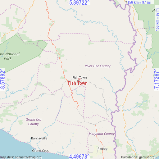
Fish Town GPS coordinates[2]
5° 11' 50.604" North, 7° 52' 32.844" West
| Map corner | latitude | longitude |
|---|---|---|
| Upper-left | 5.89722°, | -8.57892° |
| Center: | 5.19739°, | -7.87579° |
| Lower-right: | 4.49678°, | -7.17267° |
| Map W x H: | 155.7×155.7 km | = 96.7×96.7mi |
| max Lat: | 8.42194° ⇑83.3% North |
| Fish Town: | 5.19739° |
| min Lat: | ⇓16.7% South 4.3782° |
| min Long | Fish Town | max Long |
| -11.3671° | -7.87579° | -7.71081° |
| W 94.4%⇐ | ⇒5.6% E |
Elevation
Elevation of Fish Town is 199 m = 653 ft, and this is 19.9 m = 65 ft above average elevation for this country.
| Max E: |
550 m = 1804 ft | 38.9% |
| Fish Town | 199 m 653 ft | |
| Avg. | 179.1 m = 588 ft | |
Min E: |
5 m = 16 ft | 61.1% |
See also: Liberia elevation on elevation.city.
Geographical zone
Fish Town is located in North Torrid zone (between Equator and Tropic of Cancer). Distance of Equator is 577.9 km =359.1 mi to South.| Distance of | km | miles | from Fish Town |
|---|---|---|---|
| North Pole | 9429.2 | 5859 | to North |
| Arctic Circle | 6823.3 | 4239.8 | to North |
| Tropic Cancer | 2028 | 1260.1 | to North |
| Equator | 577.9 | 359.1 | to South |


Nearby cities:
15 places around Fish Town: (largest is in red/bold)
• Barclayville
70.3 km =43.7 mi,  214°
214°
• Bensonville
333.1 km =207 mi,  294°
294°
• Bopolu
355.8 km =221.1 mi,  305°
305°
• Buchanan
252.2 km =156.7 mi, 287°
• Buutuo
188.5 km =117.1 mi,  344°
344°
• Cestos City
191 km =118.7 mi,  278°
278°
• Ganta
245 km =152.2 mi, 342°
• Gbarnga
266.6 km =165.7 mi,  318°
318°
• Greenville
130.5 km =81.1 mi,  260°
260°
• Harper
92.9 km =57.7 mi,  168°
168°
• Kakata
311.6 km =193.6 mi,  298°
298°
• Monrovia
345.7 km =214.8 mi, 290°
• New Yekepa
274.8 km =170.8 mi, 344°
• Sanniquellie
257.9 km =160.3 mi, 338°
• Zwedru
101 km =62.8 mi, 343°
Sources, notices
• [Note1] Compared only with cities in Liberia existing in our database
• [Src1] Map data: © OpenStreetMap contributors (CC-BY-SA)
• [Src2] Other city data from geonames.org with taken over terms of usage.
• [Src3] Geographical zone / Annual Mean Temperature by Robert A. Rohde @ Wikipedia
