Sirte geodata
Sirte (Surt) is a seat of a first-order administrative division; located in Libya in Africa/Tripoli (GMT+2) time zone. With population of 128,123 people, there are 10 cities with bigger population in this country. Compared to other cities in Libya, 60.4% of cities are located further ↑North; 62.3% of cities are located further ←West and 73.6% of cities have higher elevation than Sirte. Note1


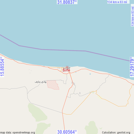
Sirte GPS coordinates[2]
31° 12' 32.112" North, 16° 35' 19.176" East
| Map corner | latitude | longitude |
|---|---|---|
| Upper-left | 31.80837°, | 15.88554° |
| Center: | 31.20892°, | 16.58866° |
| Lower-right: | 30.60564°, | 17.29179° |
| Map W x H: | 133.7×133.7 km | = 83.1×83.1mi |
| max Lat: | 32.94699° ⇑60.4% North |
| Sirte: | 31.20892° |
| min Lat: | ⇓39.6% South 24.1989° |
| min Long | Sirte | max Long |
| 9.50072° | 16.58866° | 25.0866° |
| W 62.3%⇐ | ⇒37.7% E |
Elevation
Elevation of Sirte is 17 m = 56 ft, and this is 215.2 m = 706 ft below average elevation for this country.
| Max E: |
704 m = 2310 ft | 73.6% |
| Avg. | 232.2 m = 762 ft | |
| Sirte | 17 m = 56 ft | |
Min E: |
3 m = 10 ft | 26.4% |
See also: Sirte elevation on elevation.city.
Geographical zone
Sirte is located in North temperate zone (between Tropic of Cancer and the Arctic Circle). Distance of this Northern Tropic circle is 864.2 km =537 mi to South.| Distance of | km | miles | from Sirte |
|---|---|---|---|
| North Pole | 6537 | 4061.9 | to North |
| Arctic Circle | 3931.1 | 2442.7 | to North |
| Tropic Cancer | 864.2 | 537 | to South |
| Equator | 3470.1 | 2156.2 | to South |


Nearby cities:
15 places around Sirte: (largest is in red/bold)
• Ajdabiya
350.4 km =217.7 mi,  98°
98°
• Al Burayqah
298.7 km =185.6 mi,  107°
107°
• Al Khums
271.7 km =168.8 mi,  306°
306°
• Az Zuwaytīnah
337.5 km =209.7 mi,  94°
94°
• Bani Walid
254.1 km =157.9 mi,  283°
283°
• Benghazi
344.4 km =214 mi,  72°
72°
• Hūn
239.6 km =148.9 mi,  194°
194°
• Marādah
334.7 km =208 mi,  131°
131°
• Masallātah
290.2 km =180.3 mi,  302°
302°
• Mizdah
343.3 km =213.3 mi,  274°
274°
• Mişrātah
191.9 km =119.2 mi, 312°
• Qasr Abu Hadi
17.9 km =11.1 mi,  158°
158°
• Tarhuna
310.7 km =193.1 mi, 296°
• Waddān
231.7 km =144 mi, 190°
• Zliten
236.6 km =147 mi, 306°
Sources, notices
• [Note1] Compared only with cities in Libya existing in our database
• [Src1] Map data: © OpenStreetMap contributors (CC-BY-SA)
• [Src2] Other city data from geonames.org with taken over terms of usage.
• [Src3] Geographical zone / Annual Mean Temperature by Robert A. Rohde @ Wikipedia
