Bani Walid geodata
Bani Walid (Mişrātah) is a populated place; located in Libya in Africa/Tripoli (GMT+2) time zone. With population of 46,350 people, there are 21 cities with bigger population in this country. Compared to other cities in Libya, 54.7% of cities are located further ↑North; 58.5% of cities are located further →East and 58.5% of cities have lower elevation than Bani Walid. Note1


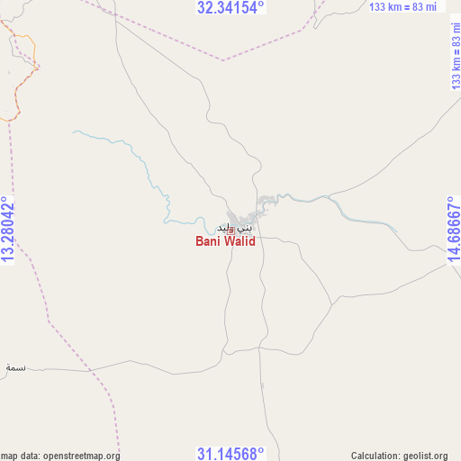
Bani Walid GPS coordinates[2]
31° 44' 43.944" North, 13° 59' 0.744" East
| Map corner | latitude | longitude |
|---|---|---|
| Upper-left | 32.34154°, | 13.28042° |
| Center: | 31.74554°, | 13.98354° |
| Lower-right: | 31.14568°, | 14.68667° |
| Map W x H: | 133×133 km | = 82.6×82.6mi |
| max Lat: | 32.94699° ⇑54.7% North |
| Bani Walid: | 31.74554° |
| min Lat: | ⇓45.3% South 24.1989° |
| min Long | Bani Walid | max Long |
| 9.50072° | 13.98354° | 25.0866° |
| W 41.5%⇐ | ⇒58.5% E |
Elevation
Elevation of Bani Walid is 269 m = 883 ft, and this is 36.8 m = 121 ft above average elevation for this country.
| Max E: |
704 m = 2310 ft | 41.5% |
| Bani Walid | 269 m 883 ft | |
| Avg. | 232.2 m = 762 ft | |
Min E: |
3 m = 10 ft | 58.5% |
See also: Bani Walid elevation on elevation.city.
Geographical zone
Bani Walid is located in North temperate zone (between Tropic of Cancer and the Arctic Circle). Distance of this Northern Tropic circle is 923.9 km =574.1 mi to South.| Distance of | km | miles | from Bani Walid |
|---|---|---|---|
| North Pole | 6477.3 | 4024.8 | to North |
| Arctic Circle | 3871.4 | 2405.6 | to North |
| Tropic Cancer | 923.9 | 574.1 | to South |
| Equator | 3529.8 | 2193.3 | to South |


Nearby cities:
15 places around Bani Walid: (largest is in red/bold)
• Al Khums
103.8 km =64.5 mi,  14°
14°
• Al ‘Azīzīyah
126.2 km =78.4 mi,  313°
313°
• Az Zāwīyah
163.1 km =101.3 mi, 313°
• Gharyan
102.5 km =63.7 mi,  297°
297°
• Masallātah
96.9 km =60.2 mi,  0°
0°
• Mizdah
100.1 km =62.2 mi,  250°
250°
• Mişrātah
125.8 km =78.2 mi,  56°
56°
• Tagiura
139.6 km =86.7 mi,  334°
334°
• Tarhuna
83.5 km =51.9 mi,  336°
336°
• Tripoli
147.4 km =91.6 mi, 329°
• Yafran
141.8 km =88.1 mi,  284°
284°
• Zawiya
162.7 km =101.1 mi, 313°
• Zintan
164.8 km =102.4 mi, 277°
• Zliten
97.4 km =60.5 mi,  34°
34°
• Şurmān
174 km =108.1 mi, 310°
Sources, notices
• [Note1] Compared only with cities in Libya existing in our database
• [Src1] Map data: © OpenStreetMap contributors (CC-BY-SA)
• [Src2] Other city data from geonames.org with taken over terms of usage.
• [Src3] Geographical zone / Annual Mean Temperature by Robert A. Rohde @ Wikipedia
