Al Burayqah geodata
Al Burayqah (Al Wāḩāt) is a populated place; located in Libya in Africa/Tripoli (GMT+2) time zone. With population of 13,780 people, there are 42 cities with bigger population in this country. Compared to other cities in Libya, 67.9% of cities are located further ↑North; 67.9% of cities are located further ←West and 94.3% of cities have higher elevation than Al Burayqah. Note1


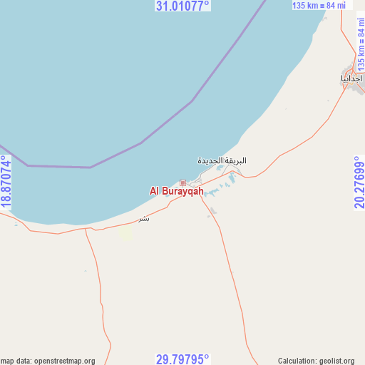
Al Burayqah GPS coordinates[2]
30° 24' 22.464" North, 19° 34' 25.896" East
| Map corner | latitude | longitude |
|---|---|---|
| Upper-left | 31.01077°, | 18.87074° |
| Center: | 30.40624°, | 19.57386° |
| Lower-right: | 29.79795°, | 20.27699° |
| Map W x H: | 134.9×134.9 km | = 83.8×83.8mi |
| max Lat: | 32.94699° ⇑67.9% North |
| Al Burayqah: | 30.40624° |
| min Lat: | ⇓32.1% South 24.1989° |
| min Long | Al Burayqah | max Long |
| 9.50072° | 19.57386° | 25.0866° |
| W 67.9%⇐ | ⇒32.1% E |
Elevation
Elevation of Al Burayqah is 5 m = 16 ft, and this is 227.2 m = 745 ft below average elevation for this country.
| Max E: |
704 m = 2310 ft | 94.3% |
| Avg. | 232.2 m = 762 ft | |
| Al Burayqah | 5 m = 16 ft | |
Min E: |
3 m = 10 ft | 5.7% |
See also: Libya elevation on elevation.city.
Geographical zone
Al Burayqah is located in North temperate zone (between Tropic of Cancer and the Arctic Circle). Distance of this Northern Tropic circle is 774.9 km =481.5 mi to South.| Distance of | km | miles | from Al Burayqah |
|---|---|---|---|
| North Pole | 6626.2 | 4117.3 | to North |
| Arctic Circle | 4020.3 | 2498.1 | to North |
| Tropic Cancer | 774.9 | 481.5 | to South |
| Equator | 3380.9 | 2100.8 | to South |


Nearby cities:
15 places around Al Burayqah: (largest is in red/bold)
• Ajdabiya
73.5 km =45.7 mi,  58°
58°
• Al Abyār
220.9 km =137.3 mi,  26°
26°
• Al Bayḑā’
333.6 km =207.3 mi,  38°
38°
• Al Marj
260.7 km =162 mi, 27°
• Al Qubbah
363.5 km =225.9 mi, 44°
• Awjilah
219.5 km =136.4 mi,  131°
131°
• Az Zuwaytīnah
80.1 km =49.8 mi, 40°
• Benghazi
195.7 km =121.6 mi,  13°
13°
• Gialo
244.4 km =151.9 mi, 128°
• Marādah
136.6 km =84.9 mi,  195°
195°
• Qaryat Sulūq
154.5 km =96 mi,  24°
24°
• Qasr Abu Hadi
287.9 km =178.9 mi,  284°
284°
• Sirte
298.7 km =185.6 mi,  287°
287°
• Tūkrah
255.1 km =158.5 mi, 21°
• Waddān
359.2 km =223.2 mi,  247°
247°
Sources, notices
• [Note1] Compared only with cities in Libya existing in our database
• [Src1] Map data: © OpenStreetMap contributors (CC-BY-SA)
• [Src2] Other city data from geonames.org with taken over terms of usage.
• [Src3] Geographical zone / Annual Mean Temperature by Robert A. Rohde @ Wikipedia
