Savana geodata
Savana (Vatovavy Fitovinany) is a populated place; located in Madagascar in Indian/Antananarivo (GMT+3) time zone. With population of 4,000 people, there are 112 cities with bigger population in this country. Compared to other cities in Madagascar, 78.9% of cities are located further ↑North; 65.9% of cities are located further ←West and 100% of cities have higher elevation than Savana. Note1
Administrative division(s):
- Level 1: Vatovavy Fitovinany
- Level 2: Vohipeno
- Level 3: Anoloka
- Level 4: Vohimary


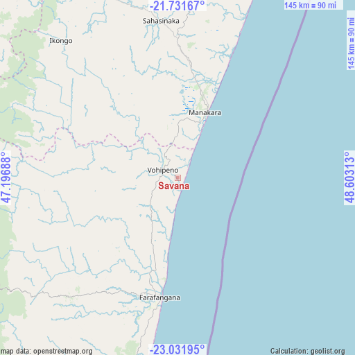
Savana GPS coordinates[2]
22° 22' 59.988" South, 47° 54' 0" East
| Map corner | latitude | longitude |
|---|---|---|
| Upper-left | -21.73167°, | 47.19688° |
| Center: | -22.38333°, | 47.9° |
| Lower-right: | -23.03195°, | 48.60313° |
| Map W x H: | 144.6×144.6 km | = 89.9×89.9mi |
| max Lat: | -12.31732° ⇑78.9% North |
| Savana: | -22.38333° |
| min Lat: | ⇓21.1% South -25.3° |
| min Long | Savana | max Long |
| 43.65° | 47.9° | 50.27876° |
| W 65.9%⇐ | ⇒34.1% E |
Elevation
Elevation of Savana is 1 m = 3 ft, and this is 556.4 m = 1825 ft below average elevation for this country.
| Max E: |
1763 m = 5784 ft | 100% |
| Avg. | 557.4 m = 1829 ft | |
| Savana | 1 m = 3 ft | |
Min E: |
1 m = 3 ft | 0% |
See also: Madagascar elevation on elevation.city.
Geographical zone
Savana is located in South Torrid zone (between Equator and Tropic of Capricorn). Distance of this Southern Tropic circle is 117.1 km =72.8 mi to South.| Distance of | km | miles | from Savana |
|---|---|---|---|
| Equator | 2488.8 | 1546.5 | to North |
| Tropic Capricorn | 117.1 | 72.8 | to South |
| Antarctic Circle | 4912.4 | 3052.4 | to South |
| South Pole | 7518.3 | 4671.7 | to South |


Nearby cities:
15 places around Savana: (largest is in red/bold)
• Ambalavao
116.9 km =72.6 mi,  301°
301°
• Amboanjo
42.9 km =26.7 mi,  353°
353°
• Anandravy
79.3 km =49.3 mi,  223°
223°
• Fandrandava
117.4 km =72.9 mi,  325°
325°
• Farafangana
49.4 km =30.7 mi,  188°
188°
• Fianarantsoa
133.3 km =82.8 mi,  320°
320°
• Ifanadiana
123.6 km =76.8 mi, 347°
• Ifatsy
15.5 km =9.6 mi,  263°
263°
• Ikongo
73.5 km =45.7 mi, 319°
• Manakara
28.5 km =17.7 mi,  23°
23°
• Manato
42.9 km =26.7 mi,  267°
267°
• Vangaindrano
111.8 km =69.5 mi,  195°
195°
• Vohimanitra
78.7 km =48.9 mi,  344°
344°
• Vohipaho
136 km =84.5 mi, 197°
• Vondrozo
79.6 km =49.5 mi,  232°
232°
Sources, notices
• [Note1] Compared only with cities in Madagascar existing in our database
• [Src1] Map data: © OpenStreetMap contributors (CC-BY-SA)
• [Src2] Other city data from geonames.org with taken over terms of usage.
• [Src3] Geographical zone / Annual Mean Temperature by Robert A. Rohde @ Wikipedia
