Sharïngol geodata
Sharïngol (Selenge) is a seat of a second-order administrative division; located in Mongolia in Asia/Ulaanbaatar (GMT+8) time zone. In our database, there are 33 cities with bigger population. Compared to other cities in Mongolia, 81.6% of cities are located further ↓South; 74.2% of cities are located further ←West and 89.3% of cities have higher elevation than Sharïngol. Note1


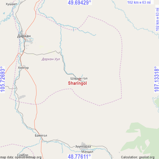
Sharïngol GPS coordinates[2]
49° 14' 14.388" North, 106° 25' 48.18" East
| Map corner | latitude | longitude |
|---|---|---|
| Upper-left | 49.69429°, | 105.72693° |
| Center: | 49.23733°, | 106.43005° |
| Lower-right: | 48.77611°, | 107.13318° |
| Map W x H: | 102.1×102.1 km | = 63.4×63.4mi |
| max Lat: | 51.50725° ⇑18.4% North |
| Sharïngol: | 49.23733° |
| min Lat: | ⇓81.6% South 42.84199° |
| min Long | Sharïngol | max Long |
| 89.14358° | 106.43005° | 118.51014° |
| W 74.2%⇐ | ⇒25.8% E |
Elevation
Elevation of Sharïngol is 904 m = 2966 ft, and this is 512.5 m = 1681 ft below average elevation for this country.
| Max E: |
2800 m = 9186 ft | 89.3% |
| Avg. | 1416.5 m = 4647 ft | |
| Sharïngol | 904 m = 2966 ft | |
Min E: |
619 m = 2031 ft | 10.7% |
See also: Mongolia elevation on elevation.city.
Geographical zone
Sharïngol is located in North temperate zone (between Tropic of Cancer and the Arctic Circle). Distance of this North polar circle is 1926.5 km =1197.1 mi to North.| Distance of | km | miles | from Sharïngol |
|---|---|---|---|
| North Pole | 4532.4 | 2816.3 | to North |
| Arctic Circle | 1926.5 | 1197.1 | to North |
| Tropic Cancer | 2868.8 | 1782.6 | to South |
| Equator | 5474.7 | 3401.8 | to South |


Nearby cities:
15 places around Sharïngol: (largest is in red/bold)
• Bornuur
86.5 km =53.7 mi,  187°
187°
• Bugant
49 km =30.4 mi,  38°
38°
• Bulagtay
98.7 km =61.3 mi,  52°
52°
• Darhan
46 km =28.6 mi,  307°
307°
• Delgerhaan
96 km =59.7 mi,  349°
349°
• Dzüünharaa
42.9 km =26.7 mi,  177°
177°
• Dzüünkharaa
70.7 km =43.9 mi,  161°
161°
• Enhtal
76.7 km =47.7 mi,  270°
270°
• Hongor
38.7 km =24 mi, 268°
• Hushaat
65.7 km =40.8 mi,  296°
296°
• Jargalant
89.7 km =55.7 mi,  207°
207°
• Javhlant
60.9 km =37.8 mi,  217°
217°
• Nart
76.4 km =47.5 mi,  262°
262°
• Nomgon
55.7 km =34.6 mi, 265°
• Orhon
69.5 km =43.2 mi,  342°
342°
Sources, notices
• [Note1] Compared only with cities in Mongolia existing in our database
• [Src1] Map data: © OpenStreetMap contributors (CC-BY-SA)
• [Src2] Other city data from geonames.org with taken over terms of usage.
• [Src3] Geographical zone / Annual Mean Temperature by Robert A. Rohde @ Wikipedia
