Bulagtay geodata
Bulagtay (Selenge) is a seat of a second-order administrative division; located in Mongolia in Asia/Ulaanbaatar (GMT+8) time zone. In our database, there are 33 cities with bigger population. Compared to other cities in Mongolia, 91.4% of cities are located further ↓South; 79.1% of cities are located further ←West and 97.2% of cities have higher elevation than Bulagtay. Note1


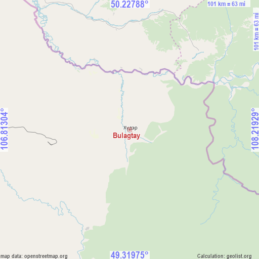
Bulagtay GPS coordinates[2]
49° 46' 33.384" North, 107° 30' 58.176" East
| Map corner | latitude | longitude |
|---|---|---|
| Upper-left | 50.22788°, | 106.81304° |
| Center: | 49.77594°, | 107.51616° |
| Lower-right: | 49.31975°, | 108.21929° |
| Map W x H: | 101×101 km | = 62.8×62.8mi |
| max Lat: | 51.50725° ⇑8.6% North |
| Bulagtay: | 49.77594° |
| min Lat: | ⇓91.4% South 42.84199° |
| min Long | Bulagtay | max Long |
| 89.14358° | 107.51616° | 118.51014° |
| W 79.1%⇐ | ⇒20.9% E |
Elevation
Elevation of Bulagtay is 700 m = 2297 ft, and this is 716.5 m = 2351 ft below average elevation for this country.
| Max E: |
2800 m = 9186 ft | 97.2% |
| Avg. | 1416.5 m = 4647 ft | |
| Bulagtay | 700 m = 2297 ft | |
Min E: |
619 m = 2031 ft | 2.8% |
See also: Mongolia elevation on elevation.city.
Geographical zone
Bulagtay is located in North temperate zone (between Tropic of Cancer and the Arctic Circle). Distance of this North polar circle is 1866.6 km =1159.9 mi to North.| Distance of | km | miles | from Bulagtay |
|---|---|---|---|
| North Pole | 4472.5 | 2779.1 | to North |
| Arctic Circle | 1866.6 | 1159.9 | to North |
| Tropic Cancer | 2928.6 | 1819.7 | to South |
| Equator | 5534.6 | 3439 | to South |


Nearby cities:
15 places around Bulagtay: (largest is in red/bold)
• Altanbulag
94.2 km =58.5 mi,  309°
309°
• Bugant
52.5 km =32.6 mi,  245°
245°
• Darhan
119.2 km =74.1 mi, 254°
• Delgerhaan
101.3 km =62.9 mi,  289°
289°
• Dzüünharaa
128.2 km =79.7 mi,  216°
216°
• Dzüünkharaa
139.2 km =86.5 mi,  204°
204°
• Hongor
131.7 km =81.8 mi,  242°
242°
• Hushaat
140.2 km =87.1 mi,  257°
257°
• Huurch
154.4 km =95.9 mi,  283°
283°
• Jargalant
121.5 km =75.5 mi, 285°
• Javhlant
158.3 km =98.4 mi,  226°
226°
• Nomgon
148.2 km =92.1 mi, 244°
• Orhon
99.2 km =61.6 mi,  273°
273°
• Sharïngol
98.7 km =61.3 mi, 232°
• Sühbaatar
106.3 km =66.1 mi,  298°
298°
Sources, notices
• [Note1] Compared only with cities in Mongolia existing in our database
• [Src1] Map data: © OpenStreetMap contributors (CC-BY-SA)
• [Src2] Other city data from geonames.org with taken over terms of usage.
• [Src3] Geographical zone / Annual Mean Temperature by Robert A. Rohde @ Wikipedia
