Eg geodata
Eg (Hentiy) is a seat of a second-order administrative division; located in Mongolia in Asia/Ulaanbaatar (GMT+8) time zone. In our database, there are 33 cities with bigger population. Compared to other cities in Mongolia, 70.9% of cities are located further ↓South; 86.8% of cities are located further ←West and 74.5% of cities have higher elevation than Eg. Note1


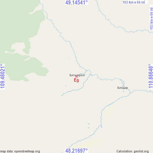
Eg GPS coordinates[2]
48° 40' 59.988" North, 110° 10' 59.988" East
| Map corner | latitude | longitude |
|---|---|---|
| Upper-left | 49.14541°, | 109.48021° |
| Center: | 48.68333°, | 110.18333° |
| Lower-right: | 48.21697°, | 110.88646° |
| Map W x H: | 103.2×103.2 km | = 64.1×64.1mi |
| max Lat: | 51.50725° ⇑29.1% North |
| Eg: | 48.68333° |
| min Lat: | ⇓70.9% South 42.84199° |
| min Long | Eg | max Long |
| 89.14358° | 110.18333° | 118.51014° |
| W 86.8%⇐ | ⇒13.2% E |
Elevation
Elevation of Eg is 1107 m = 3632 ft, and this is 309.5 m = 1015 ft below average elevation for this country.
| Max E: |
2800 m = 9186 ft | 74.5% |
| Avg. | 1416.5 m = 4647 ft | |
| Eg | 1107 m = 3632 ft | |
Min E: |
619 m = 2031 ft | 25.5% |
See also: Mongolia elevation on elevation.city.
Geographical zone
Eg is located in North temperate zone (between Tropic of Cancer and the Arctic Circle). Distance of this North polar circle is 1988.1 km =1235.3 mi to North.| Distance of | km | miles | from Eg |
|---|---|---|---|
| North Pole | 4594 | 2854.6 | to North |
| Arctic Circle | 1988.1 | 1235.3 | to North |
| Tropic Cancer | 2807.2 | 1744.3 | to South |
| Equator | 5413.1 | 3363.5 | to South |


Nearby cities:
15 places around Eg: (largest is in red/bold)
• Avraga
183 km =113.7 mi,  203°
203°
• Bayan
67.8 km =42.1 mi,  102°
102°
• Bayan
175.1 km =108.8 mi,  164°
164°
• Bayan-Ovoo
112.4 km =69.8 mi,  70°
70°
• Bayanbulag
92.9 km =57.7 mi,  192°
192°
• Bayandelger
186.8 km =116.1 mi,  235°
235°
• Bulag
136.4 km =84.8 mi,  246°
246°
• Dundbürd
127.2 km =79 mi,  130°
130°
• Herlen
156.4 km =97.2 mi,  169°
169°
• Javhlant
174.7 km =108.6 mi,  124°
124°
• Modot
133.5 km =83 mi,  218°
218°
• Mörön
145 km =90.1 mi,  176°
176°
• Onon
31.5 km =19.6 mi, 103°
• Uldz
133 km =82.6 mi,  89°
89°
• Undurkhaan
155.7 km =96.7 mi, 166°
Sources, notices
• [Note1] Compared only with cities in Mongolia existing in our database
• [Src1] Map data: © OpenStreetMap contributors (CC-BY-SA)
• [Src2] Other city data from geonames.org with taken over terms of usage.
• [Src3] Geographical zone / Annual Mean Temperature by Robert A. Rohde @ Wikipedia
