Dundbürd geodata
Dundbürd (Hentiy) is a seat of a second-order administrative division; located in Mongolia in Asia/Ulaanbaatar (GMT+8) time zone. In our database, there are 33 cities with bigger population. Compared to other cities in Mongolia, 56.4% of cities are located further ↓South; 90.8% of cities are located further ←West and 81.3% of cities have higher elevation than Dundbürd. Note1


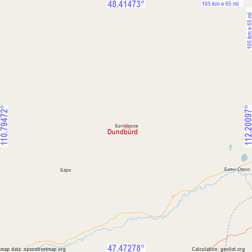
Dundbürd GPS coordinates[2]
47° 56' 45.24" North, 111° 29' 52.224" East
| Map corner | latitude | longitude |
|---|---|---|
| Upper-left | 48.41473°, | 110.79472° |
| Center: | 47.9459°, | 111.49784° |
| Lower-right: | 47.47278°, | 112.20097° |
| Map W x H: | 104.7×104.7 km | = 65.1×65.1mi |
| max Lat: | 51.50725° ⇑43.6% North |
| Dundbürd: | 47.9459° |
| min Lat: | ⇓56.4% South 42.84199° |
| min Long | Dundbürd | max Long |
| 89.14358° | 111.49784° | 118.51014° |
| W 90.8%⇐ | ⇒9.2% E |
Elevation
Elevation of Dundbürd is 1040 m = 3412 ft, and this is 376.5 m = 1235 ft below average elevation for this country.
| Max E: |
2800 m = 9186 ft | 81.3% |
| Avg. | 1416.5 m = 4647 ft | |
| Dundbürd | 1040 m = 3412 ft | |
Min E: |
619 m = 2031 ft | 18.7% |
See also: Mongolia elevation on elevation.city.
Geographical zone
Dundbürd is located in North temperate zone (between Tropic of Cancer and the Arctic Circle). Distance of this North polar circle is 2070.1 km =1286.3 mi to North.| Distance of | km | miles | from Dundbürd |
|---|---|---|---|
| North Pole | 4676 | 2905.5 | to North |
| Arctic Circle | 2070.1 | 1286.3 | to North |
| Tropic Cancer | 2725.2 | 1693.4 | to South |
| Equator | 5331.1 | 3312.6 | to South |


Nearby cities:
15 places around Dundbürd: (largest is in red/bold)
• Bayan
73.8 km =45.9 mi,  335°
335°
• Bayan
100.6 km =62.5 mi,  210°
210°
• Bayan
108.2 km =67.2 mi,  91°
91°
• Bayan-Ovoo
119.5 km =74.3 mi,  4°
4°
• Bayanbulag
118.2 km =73.4 mi,  265°
265°
• Bayasgalant
114.8 km =71.3 mi,  158°
158°
• Eg
127.2 km =79 mi,  310°
310°
• Hanhöhiy
60 km =37.3 mi,  127°
127°
• Herlen
100.1 km =62.2 mi,  224°
224°
• Javhlant
49.6 km =30.8 mi,  111°
111°
• Mörön
108.4 km =67.4 mi,  234°
234°
• Onon
99.9 km =62.1 mi,  318°
318°
• Tsagaan-Owoo
152.1 km =94.5 mi,  70°
70°
• Uldz
90.6 km =56.3 mi,  23°
23°
• Undurkhaan
94 km =58.4 mi, 222°
Sources, notices
• [Note1] Compared only with cities in Mongolia existing in our database
• [Src1] Map data: © OpenStreetMap contributors (CC-BY-SA)
• [Src2] Other city data from geonames.org with taken over terms of usage.
• [Src3] Geographical zone / Annual Mean Temperature by Robert A. Rohde @ Wikipedia
