Ulaandel geodata
Ulaandel (Sühbaatar) is a seat of a second-order administrative division; located in Mongolia in Asia/Choibalsan (GMT+8) time zone. In our database, there are 33 cities with bigger population. Compared to other cities in Mongolia, 72.7% of cities are located further ↑North; 95.7% of cities are located further ←West and 80.1% of cities have higher elevation than Ulaandel. Note1


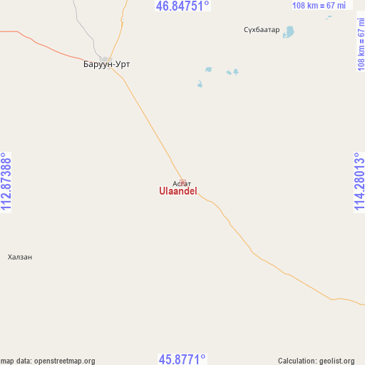
Ulaandel GPS coordinates[2]
46° 21' 52.056" North, 113° 34' 37.2" East
| Map corner | latitude | longitude |
|---|---|---|
| Upper-left | 46.84751°, | 112.87388° |
| Center: | 46.36446°, | 113.577° |
| Lower-right: | 45.8771°, | 114.28013° |
| Map W x H: | 107.9×107.9 km | = 67×67mi |
| max Lat: | 51.50725° ⇑72.7% North |
| Ulaandel: | 46.36446° |
| min Lat: | ⇓27.3% South 42.84199° |
| min Long | Ulaandel | max Long |
| 89.14358° | 113.577° | 118.51014° |
| W 95.7%⇐ | ⇒4.3% E |
Elevation
Elevation of Ulaandel is 1049 m = 3442 ft, and this is 367.5 m = 1206 ft below average elevation for this country.
| Max E: |
2800 m = 9186 ft | 80.1% |
| Avg. | 1416.5 m = 4647 ft | |
| Ulaandel | 1049 m = 3442 ft | |
Min E: |
619 m = 2031 ft | 19.9% |
See also: Mongolia elevation on elevation.city.
Geographical zone
Ulaandel is located in North temperate zone (between Tropic of Cancer and the Arctic Circle). Distance of this North polar circle is 2245.9 km =1395.5 mi to North.| Distance of | km | miles | from Ulaandel |
|---|---|---|---|
| North Pole | 4851.8 | 3014.8 | to North |
| Arctic Circle | 2245.9 | 1395.5 | to North |
| Tropic Cancer | 2549.3 | 1584.1 | to South |
| Equator | 5155.2 | 3203.3 | to South |


Nearby cities:
15 places around Ulaandel: (largest is in red/bold)
• Baruun-Urt
41.9 km =26 mi,  327°
327°
• Bayan
179 km =111.2 mi,  344°
344°
• Bayasgalant
135.3 km =84.1 mi,  300°
300°
• Chonogol
147.2 km =91.5 mi,  110°
110°
• Dzüünbulag
106.9 km =66.4 mi,  271°
271°
• Dzüünbulag
146.5 km =91 mi,  63°
63°
• Hanhöhiy
177.1 km =110 mi,  321°
321°
• Hatavch
53 km =32.9 mi,  245°
245°
• Havirga
86.4 km =53.7 mi,  206°
206°
• Haylaastay
50.9 km =31.6 mi,  27°
27°
• Hongor
136.9 km =85.1 mi,  176°
176°
• Ovoot
119.8 km =74.4 mi,  169°
169°
• Sergelen
136.5 km =84.8 mi,  262°
262°
• Shireet
117.9 km =73.3 mi,  233°
233°
• Öndörhoshuu
183.8 km =114.2 mi,  8°
8°
Sources, notices
• [Note1] Compared only with cities in Mongolia existing in our database
• [Src1] Map data: © OpenStreetMap contributors (CC-BY-SA)
• [Src2] Other city data from geonames.org with taken over terms of usage.
• [Src3] Geographical zone / Annual Mean Temperature by Robert A. Rohde @ Wikipedia
